What is recorded here
Two stones stand four metres apart in a coniferous forest south of the Castletownbere-Kenmare road, one facing east-west and the other tilted on a different axis. They mark the edge of a linear stony scarp, suggesting a boundary or path rather than a random pile of rock. The forest has claimed the surrounding land, but the stones remain visible, waiting for someone to walk between them and remember what the line once excluded.
In a coniferous forest, to the S of the Castletownbere-Kenmare road. This standing stone (0.65m x 0.27m; H 1.92m), which is on the edge of a linear stony scarp, is roughly rectangular in section and plan and is orientated E-W. Another standing stone (KE108-043001-), on a different orientation, stands c. 4m to the SW.
The above description is derived from the published 'Archaeological Inventory of County Kerry. Volume I: South-West Kerry' (Dublin: Stationery Office, 2009). In certain instances the entries have been revised and updated in the light of recent research.
Date of upload: 30 May 2011
Probably dating to the Neolithic or Bronze Age, this standing stone may have had a ritual or territorial function. Its placement near a scarp suggests possible alignment or landscape significance, though specific folklore or use remains unrecorded.
The monument record does not grant public access. Check the route and ask the landowner before entering private land.
- What survives
- Recorded monument
Places near here
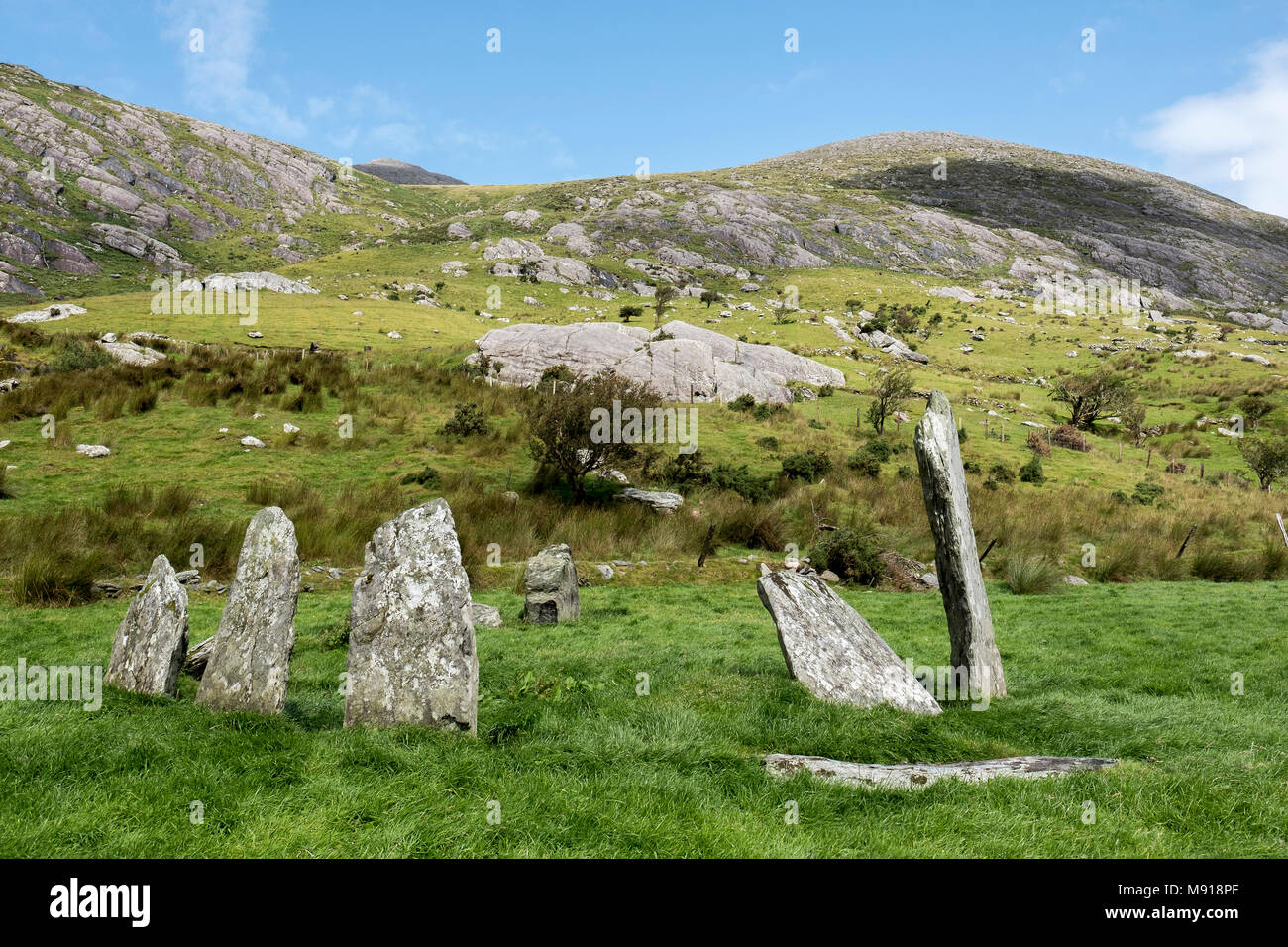 Hut site in CashelkeeltyHut site · 806 yd
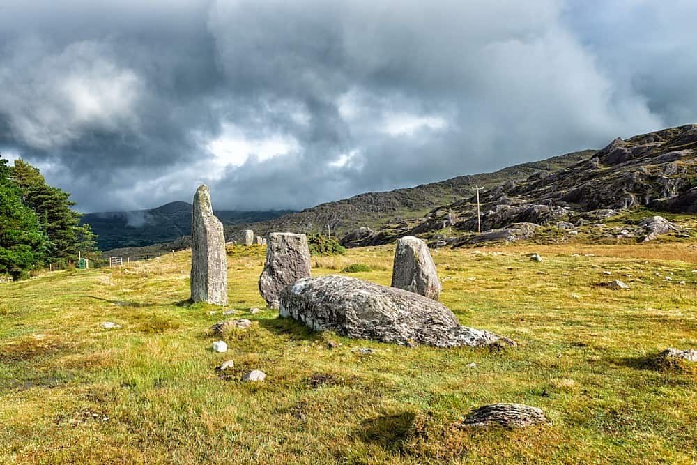 Field boundary in CashelkeeltyField boundary · 826 yd
 Eskadawer Br.Bridge · 1187 yd
 CummeennahillanMountain / peak · 1.0 mi
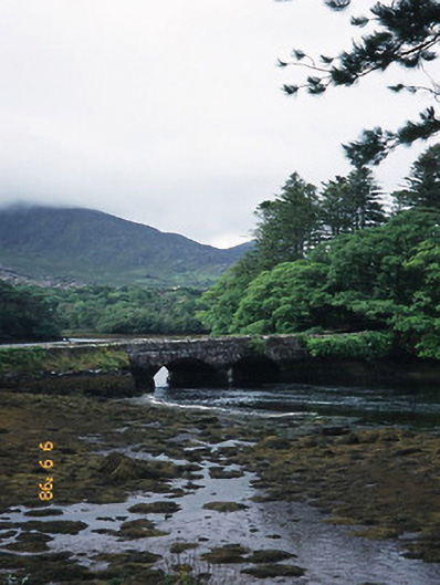 Cappul Bridgebridge · 1.0 mi
 Japanese cedarJapanese cedar · 1.2 mi
 Soft Tree-fernSoft Tree-fern · 1.2 mi
 Drung HillMountain / peak · 1.3 mi
 Crane IslandIslet · 1.9 mi
 Duck RockIslet · 2.0 mi
 Ardgroom Pulleen LoopWalking route · 3.9 mi
 DroppaCliff · 4.8 mi