What is recorded here
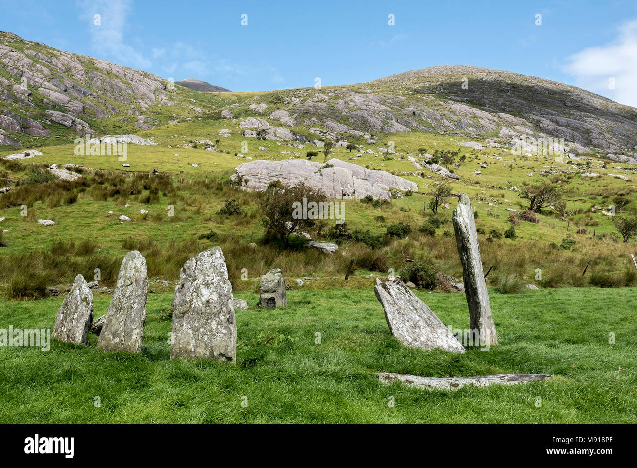
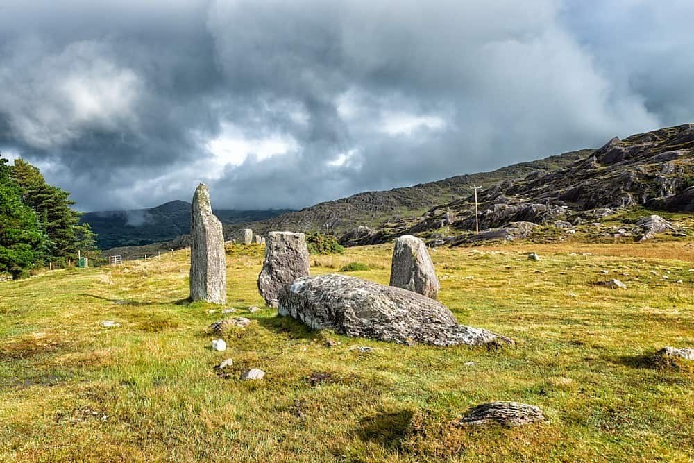
Two rectangular stones lean northwest in a coniferous forest south of the Castletownbere-Kenmare road. One faces northeast-southwest while the other twists beside it four metres away. They have watched forest floors shift and human paths change for generations.
In a coniferous forest, to the S of the Castletownbere-Kenmare road. This standing stone (0.93m x 0.48m; H 1.1m) is subrectangular in plan and section and is orientated NE-SW. It leans slightly to the NW. Another standing stone (KE108-043002-), on a different orientation, stands c. 4m to the NE.
The above description is derived from the published 'Archaeological Inventory of County Kerry. Volume I: South-West Kerry' (Dublin: Stationery Office, 2009). In certain instances the entries have been revised and updated in the light of recent research.
Date of upload: 30 May 2011
The monument record does not grant public access. Check the route and ask the landowner before entering private land.
- What survives
- Recorded monument
Places near here
 Hut site in CashelkeeltyHut site · 801 yd
 Field boundary in CashelkeeltyField boundary · 820 yd
 Eskadawer Br.Bridge · 1184 yd
 CummeennahillanMountain / peak · 1.0 mi
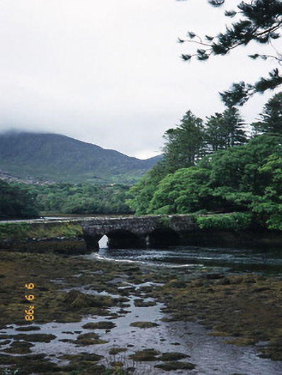 Cappul Bridgebridge · 1.0 mi
 Japanese cedarJapanese cedar · 1.2 mi
 Soft Tree-fernSoft Tree-fern · 1.2 mi
 Drung HillMountain / peak · 1.3 mi
 Crane IslandIslet · 1.9 mi
 Duck RockIslet · 2.0 mi
 Ardgroom Pulleen LoopWalking route · 3.9 mi
 DroppaCliff · 4.8 mi