What is recorded here
Carrigonirtane is a level, rough pasture in County Cork, Ireland, where a subrectangular standing stone rises 0.75m from the ground. Its long axis points WNW-ESE, and another anomalous stone group lies about 100m to the north. The pasture is quiet, but the stones are not forgotten; they are still named, measured and remembered.
In level, rough pasture. Stone (H 0.75m; 1.2m x 0.4m) is subrectangular in plan, long axis WNW-ESE. Anomalous stone group (CO059-011---) c. 100m to N.
The above description is derived from the published 'Archaeological Inventory of County Cork. Volume 3: Mid Cork' (Dublin: Stationery Office, 1997). In certain instances the entries have been revised and updated in the light of recent research.
Date of upload/revision: 14 January 2009
The monument record does not grant public access. Check the route and ask the landowner before entering private land.
- What survives
- Recorded monument
Places near here
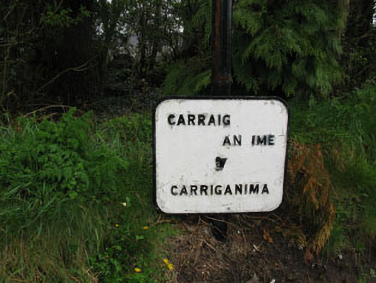 sign postsign post · 609 yd
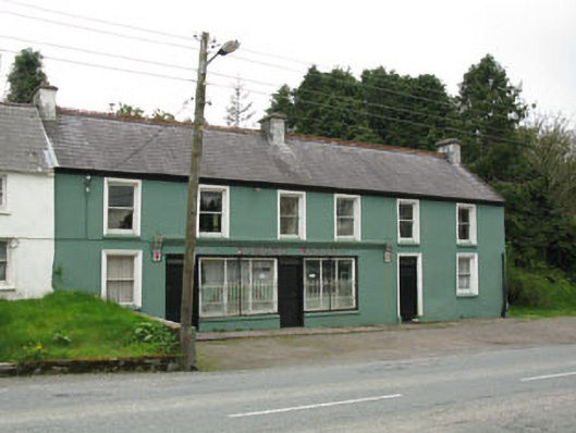 Edmond Walshhouse · 677 yd
 Burial ground in CabraghBurial ground · 872 yd
 Fulacht fia in CarrigonirtaneFulacht fia · 963 yd
 Cnoc na nUlán (mullach thoir)Mountain / peak · 2.8 mi
 Mullaghanish Far North-East TopMountain / peak · 3.3 mi
 Paddy Mulcahey 2009Memorial · 3.5 mi
 Standing Stone ? At J WellMemorial · 3.6 mi
 Neill's WoodWood · 4.2 mi
 Clonavrick CliffCliff · 4.2 mi
 Carrigaphooca CastleCastle · 4.5 mi
 Kilmeedy CastleCastle, tower house · 4.6 mi