
What is recorded here
In rough grazing, on N bank of stream. Large, partially overgrown horseshoe-shaped mound of burnt material (L 15m; Wth 15.3m; H 1.95m); opening (Wth 5.4m) faces NNW. Drain runs E-W through E side into trough area.
The above description is derived from the published 'Archaeological Inventory of County Cork. Volume 3: Mid Cork' (Dublin: Stationery Office, 1997). In certain instances the entries have been revised and updated in the light of recent research.
Date of upload/revision: 14 January 2009
The monument record does not grant public access. Check the route and ask the landowner before entering private land.
- What survives
- Recorded monument
Places near here
 Fulacht fia in CabraghFulacht fia · 303 yd
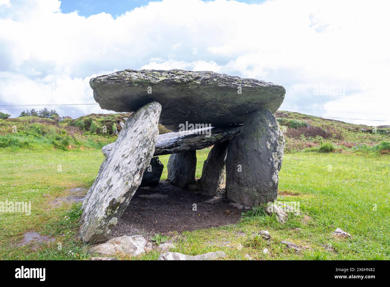 Wedge tomb in CarrigonirtaneWedge tomb · 356 yd
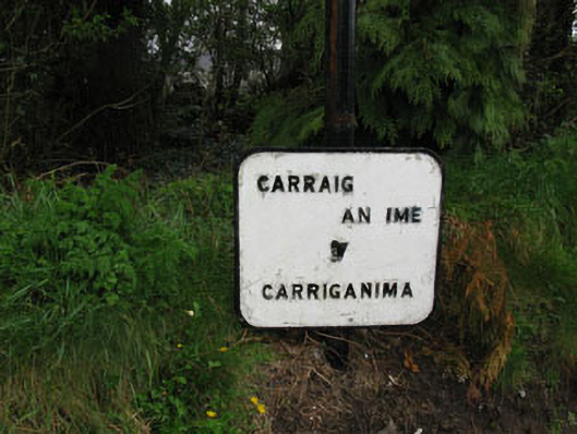 sign postsign post · 1505 yd
 St John the Baptist Roman Catholic Churchchurch/chapel · 1628 yd
 Cnoc na nUlán (mullach thoir)Mountain / peak · 2.4 mi
 Mullaghanish Far North-East TopMountain / peak · 3.1 mi
 Paddy Mulcahey 2009Memorial · 4.1 mi
 Carrigaphooca CastleCastle · 4.1 mi
 Standing Stone ? At J WellMemorial · 4.2 mi
 Neill's WoodWood · 4.2 mi
 Clonavrick CliffCliff · 4.4 mi
 Curraheen WoodWood · 4.7 mi
Other information
Photo: Credit not shown in the picture search · Rights wording not checked; contact us if this picture should be removed