
What is recorded here
From the National Monuments Service (Archaeological Survey of Ireland) record DG069-027
Places near here
Photo credits
- National Inventory of Architectural Heritage
- Maker not stated on source page, ga.wikipedia.org
- Maker not stated on source page, en.wikipedia.org
- Maker not stated on source page, uk.pinterest.com
- Richard Webb, Geograph · Creative Commons Attribution-ShareAlike 2.0
- Maker not stated on source page, www.flickr.com
- Kenneth Allen, Geograph · Creative Commons Attribution-ShareAlike 2.0
- Gabrielle Gallagher, via St Mary’s Convoy club pictures on Donegal Daily, www.donegaldaily.com
- Kenneth Allen, Geograph · CC BY-SA 2.0
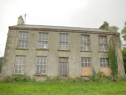 Green HillsCountry house · 827 yd
Explorer Tom Green Hills in Magherahee has a drama with the nearest tree because the tree keeps dropping leaves on its roof and the…
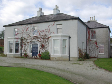 house, farm house851 yd
Explorer Tom House, Farm house in Carrickbrack has a spider’s web fanlight right above the doors! Built c. 1860, I wonder if an…
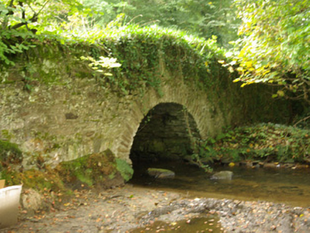 bridge1033 yd
Explorer Tom Bridge in Carrickbrack is wearing a thick, green sweater on its side rails. I picture the ivy stretching and yawning…
 Carrickbrack 1962 Stone CistCist · 1169 yd
Explorer Tom Carrickbrack 1962 Stone Cist was ploughed up in December 1962, and honestly? It’s a bit of a letdown. There were no…
 Carrickbrack Double-Cist BurialCist · 1197 yd
Explorer Tom Carrickbrack Double-Cist Burial is two boxes of secrets, but one was found back in 1895 with absolutely nothing inside.…
 Standing stone in CarnowenStanding stone · 1516 yd
Explorer Tom Standing stone in Carnowen, County Donegal, is completely invisible, which makes it perfect for playing hide-and-seek…
 Convoy Enterprise CentreMill (water) · 1591 yd
Explorer Tom Convoy Enterprise Centre was originally built as a woollen mill in 1883 and greatly extended in 1905 and 1911-12. It’s…
 Standing stone in Roosky UpperStanding stone · 1621 yd
Explorer Tom Standing stone in Roosky Upper is officially gone, which means it’s doing an amazing job of hiding from its own fame.…
 Convoy Reformed Presbyterian ChurchChurch/chapel · 1651 yd
Explorer Tom Convoy Reformed Presbyterian Church has been in a long-standing grudge match with the weather, and frankly, the rain is…
 kiln1720 yd
Explorer Tom Kiln in Kiltole loves singing 'Bohemian Rhapsody' because it’s got a lot of heat to get out and needs to scream about…
 Páirc Naomh Muire, St. Mary's GAA, ConvoyGAA ground · 1.3 mi
 Carnowen HillMountain / peak · 2.3 mi
Explorer Tom Carnowen Hill has a secret it would tell after a few pints, but it never gets drunk because it’s too busy watching the…
More archaeology and monuments in County Donegal · All of County Donegal

What do you know about this place?Tap to add a comment or ask a question