What is recorded here
Situated at the top of a SW-facing slope overlooking Ballyscanlan Lough to the SW, in pasture with rock outcrop in the vicinity. The Comeragh Mountains are visible to the W. This is a green-coloured stone (dims. 1.2m x 0.7m; H 1.1m) with a rectangular cross-section and oriented E-W.
The above description is derived from the published 'Archaeological Inventory of County Waterford' (Dublin: Stationery Office, 1999). In certain instances the entries have been revised and updated in the light of recent research.
See attached:
WA026-081----_01 Viewed from N (photograph taken 30 March 2021)
WA026-081----_01 Viewed from NNW (photograph taken 30 March 2021)
WA026-081----_03 Standing stone to the right with Comeragh Mountains to W and Ballyscanlan Lough to the SW (Google Earth satellite imagery, imagery date September 2019)
WA026-081----_04 Standing stone to the left with Comeragh Mountains to W and rock outcrop to the NW (Google Earth satellite imagery, imagery date September 2019)
Compiled by: Michael Moore
Revised by: Jean Farrelly
Date of upload/revision: 14 February 2022
Likely dating to the Late Neolithic or Bronze Age, this standing stone may have had ritual or territorial significance. Its location overlooking a lough and mountain range suggests it could have been used for ceremonial purposes or as a marker within a landscape of spiritual importance.
The monument record does not grant public access. Check the route and ask the landowner before entering private land.
- What survives
- Recorded monument
Places near here
 IndicatedEnclosure · 870 yd
 CairnCairn, unclassified · 913 yd
 Ballyscanlon HillMountain / peak · 1.1 mi
 Cullen Castle (in ruins)Castle, tower house · 1.4 mi
 Fenor BogNature reserve · 1.4 mi
 Catholic Church of the Immaculate ConceptionOfficially recorded historic building · 1.6 mi
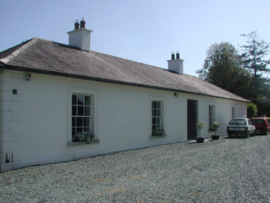 Pembrokestown Housecountry house · 1.7 mi
 Mote or TumulusCastle, motte · 1.9 mi
 Sugar Loaf RockMountain / peak · 2.5 mi
 Doneraile WalkWalking route · 2.5 mi
 Tourist InformationVisitor information · 2.7 mi
 Newtown WoodsWood · 2.9 mi