
What is recorded here
Located on a broad hill. The N part of a flat-topped cairn survives (dim. at base 24m NE-SW; dim. at top 16m NE-SW; max. H 1.2m) is backing onto the townland boundary with Kilcarton. No structural stones are visible. It is a possible clearance cairn.
The above description is derived from the published 'Archaeological Inventory of County Waterford' (Dublin: Stationery Office, 1999). In certain instances the entries have been revised and updated in the light of recent research.
Compiled by: Michael Moore
Date of upload/revision: 27 May 2011
The monument record does not grant public access. Check the route and ask the landowner before entering private land.
- What survives
- Recorded monument
Places near here
 Font in ReiskFont · 578 yd
 IndicatedEnclosure · 752 yd
 Ballyscanlon HillMountain / peak · 1.2 mi
 Fenor BogNature reserve · 1.4 mi
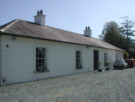 Pembrokestown Housecountry house · 1.5 mi
 Mote or TumulusCastle, motte · 1.5 mi
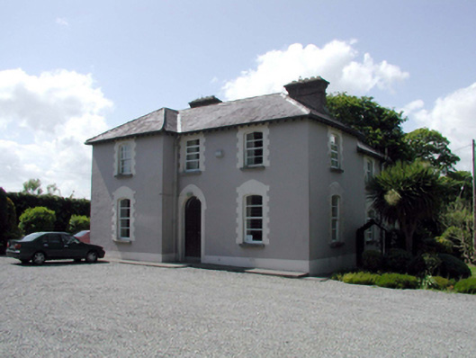 presbytery/parochial/curate's housepresbytery/parochial/curate's house · 1.5 mi
 Cullen Castle (in ruins)Castle, tower house · 1.7 mi
 Sugar Loaf RockMountain / peak · 2.5 mi
 Doneraile WalkWalking route · 3.0 mi
 Newtown WoodsWood · 3.3 mi
 Garrarus StrandBeach / strand · 3.4 mi
Other information
Photo: Credit not shown in the picture search · Rights wording not checked; contact us if this picture should be removed