What is recorded here
From the National Monuments Service (Archaeological Survey of Ireland) record WA026-007
Places near here
Photo credits
- Maker not stated on source page, www.dailypost.co.uk
- Maker not stated on source page, au.pinterest.com
- Maker not stated on source page, www.pinterest.com
- Maker not stated on source page, fi.pinterest.com
- Maker not stated on source page, www.nova.ie
- Brendan Tobin, Wikimedia Commons · CC BY-SA 4.0
- Jamie O’Keeffe / Copper Post, Fenor GAA section, copper-post.beehiiv.com
- Dunhill GAA Club and Sports Centre; individual photographer uncredited, dunhillgaasc.ie
- P L Chadwick, Geograph · CC BY-SA 2.0
- Colin Park, Geograph · CC BY-SA 2.0
 Standing stone in Ballynaclogh SouthStanding stone · 454 yd
Explorer Tom Standing stone in Ballynaclogh South is covered in lichen and hiding a scandal from the 1890s that nobody wants to…
 Standing stone in CarrickavarahaneStanding stone · 870 yd
Explorer Tom Standing stone in Carrickavarahane is a green block perched on a slope overlooking a lake, and if you give it three…
 Church (in ruins)Church · 959 yd
Explorer Tom Church in Reisk is playing possum on its hilltop perch, refusing to crumble because it thinks gravity is just a…
 Reisk GraveyardGraveyard · 963 yd
Explorer Tom Reisk Graveyard has a secret fan club of local badgers who come at midnight to admire the most crooked tombstone in the…
 Church in KilcartonChurch · 1086 yd
Explorer Tom Church in Kilcarton is playing hide-and-seek with me near that lake. A tale from 1846 says an earl built it, but there…
 Fenor BogNature reserve · 1.8 mi
Explorer Tom Fenor Bog sits beside the church in a Waterford village, a wet little world where the boardwalk crosses sedge, willow…
 Graveyard in BallyphilipGraveyard · 1.8 mi
Explorer Tom Ballyphilip has a graveyard that’s invisible at ground level, which is great for anyone who hates digging or bad small…
 William Flynn Park, FenorGAA ground · 2.0 mi
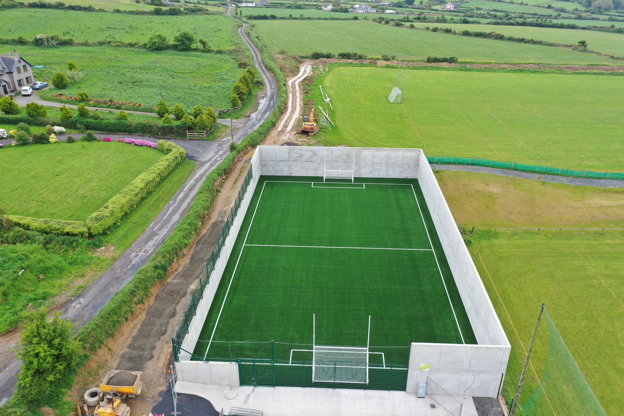 Páirc Ui Bhriain, DunhillGAA ground · 2.1 mi
 Kilfarrasy BeachBeach / strand · 3.9 mi
Explorer Tom Kilfarrasy Beach near Tramore is where the Copper Coast seems to have emptied a geologist's whole cabinet onto one…
 CastleCastle, unclassified · 4.2 mi
Explorer Tom Castle in Castlecraddock is probably ordering a medium chipper with no mushy peas because David Craddock had a bit of a…
 Boatstrand BeachBeach / strand · 5.4 mi
Explorer Tom Boatstrand Beach shares its little Waterford inlet with a harbour and pier, so a visit can feel like finding a seaside…
More archaeology and monuments in County Waterford · All of County Waterford

What do you know about this place?Tap to add a comment or ask a question