What is recorded here
Marked as a D-shaped enclosure (dims. c. 45m NW-SE; c. 40m NE-SW) backing onto a field bank and towland budnary with Ballynaclogh South at NE on the 1840 ed. of the OS 6-inch map. Situated on the W-facing slope of a hill. This is a small, overgrown oval field defined by drystone walls and rock outcrop. It is possibly not an antiquity. Earthwork (WA017-047----) is c. 60m to the ENE and enclosure (WA026-007----) is c. 60m to the ESE.
The above description is derived from the published 'Archaeological Inventory of County Waterford' (Dublin: Stationery Office, 1999). In certain instances the entries have been revised and updated in the light of recent research.
Compiled by: Michael Moore
Date of upload/revision: 01 January 2012
The monument record does not grant public access. Check the route and ask the landowner before entering private land.
- What survives
- Recorded monument
Places near here
 IndicatedEnclosure · 99 yd
 CairnCairn, unclassified · 684 yd
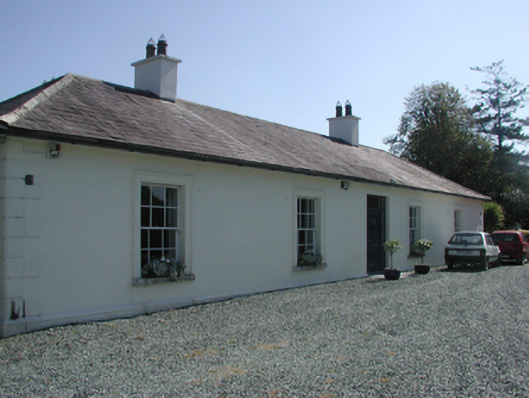 Pembrokestown Housecountry house · 1.2 mi
 Cullen Castle (in ruins)Castle, tower house · 1.3 mi
 Mote or TumulusCastle, motte · 1.4 mi
 Ballyscanlon HillMountain / peak · 1.5 mi
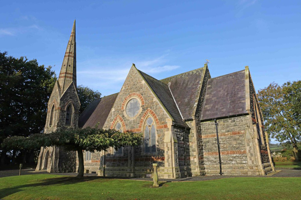 St, Brigets Church (in ruins)Church · 1.7 mi
 Fenor BogNature reserve · 1.8 mi
 Sugar Loaf RockMountain / peak · 2.1 mi
 Doneraile WalkWalking route · 2.9 mi
 Tourist InformationVisitor information · 3.0 mi
 Newtown WoodsWood · 3.3 mi