What is recorded here
Carntall holds a standing stone from the prehistoric dawn, when people may have gathered beneath open sky to mark season, loss or promise. The stone still points upward like a finger forgotten by time. It does not need a name to be powerful. It only needs to remain visible, unbroken and unchanged while human life redraws itself around it.
The official Northern Ireland record identifies this as STANDING STONE. Recorded period: PREHISTORIC; UNCERTAIN. The official map point was placed at the centre of the recorded archaeological site from the source map reference.
Likely dating to the Neolithic or Bronze Age, this standing stone may have functioned as a boundary marker, ritual monument, or astronomical alignment feature. No specific folklore or detailed local tradition is recorded for the site.
The monument record does not grant public access. Check the route and ask the landowner before entering private land.
- What survives
- Recorded monument
Places near here
 RECTANGULAR ENCLOSURE & EARTHWORKS in BallyearlRECTANGULAR ENCLOSURE & EARTHWORKS · 1211 yd
 Enclosure in BallyearlEnclosure · 1.1 mi
 RUINED STRUCTURERUINED STRUCTURE, CHURCH? · 2.1 mi
 Sentry Hill Historic HouseMuseum · 2.5 mi
 Carnmoney HillMountain / peak · 2.8 mi
_-_geograph.org.uk_-_652849.jpg?width=1280) The County Antrim War MemorialMemorial · 2.8 mi
The County Antrim War MemorialMemorial · 2.8 mi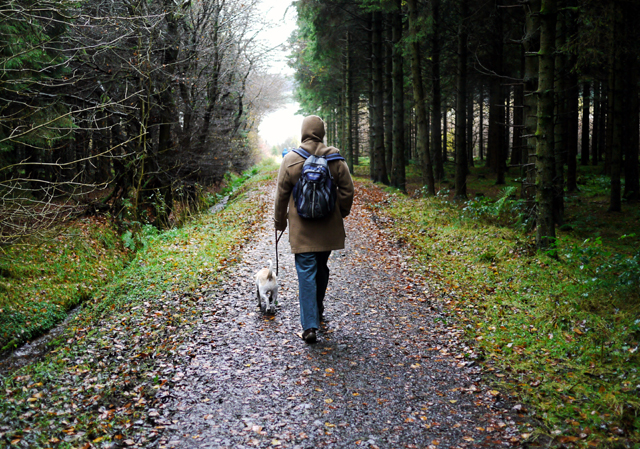 Woodburn ForestForest · 2.8 mi
 O'Haughan's CaveCave · 2.9 mi
 North Carn ForestForest · 3.7 mi
 TOWER-HOUSE: CASTLE LUG or CLOGH-NA-LARTY in West DivisionTOWER-HOUSE: CASTLE LUG or CLOGH-NA-LARTY · 3.7 mi
 FORTIFIED HOUSE & EARTHWORK DEFENCES (unlocated) in Grange OF MalluskFORTIFIED HOUSE & EARTHWORK DEFENCES (unlocated) · 3.9 mi
 Bellevue Area of Special Scientific InterestCliff · 4.0 mi