What is recorded here
Standing stone in Cappagh (kilconnell By.) is a squat granite boulder, 1.1m high and roughly D-shaped, lying in grassland 280m ENE of Cappage bridge. Its long axis runs NNE-SSW, and a groove crosses the top, perhaps natural rather than carved. Local tradition holds that a stone axehead once surfaced nearby, hinting the boulder marked a boundary, a burial or a warning long before anyone wrote it down.
In grassland, 280m ENE of Cappage bridge. A squat granite boulder (H 1.1), roughly D-shaped in plan, its long axis running NNE-SSW. A notable groove across the top may be natural. Considered by Wade to be a 'monumental stone' (Topgr. Files, NMI): according to local tradition a stone 'axehead' was found in its vicinity.
The above description is derived from the published 'Archaeological Inventory of County Galway Vol. II - North Galway'. Compiled by Olive Alcock, Kathy de hÓra and Paul Gosling (Dublin: Stationery Office, 1999).
Date of upload: 05 August 2010
The monument record does not grant public access. Check the route and ask the landowner before entering private land.
- What survives
- Recorded monument
Places near here
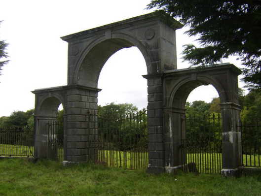 Northbrook Housegates/railings/walls · 970 yd
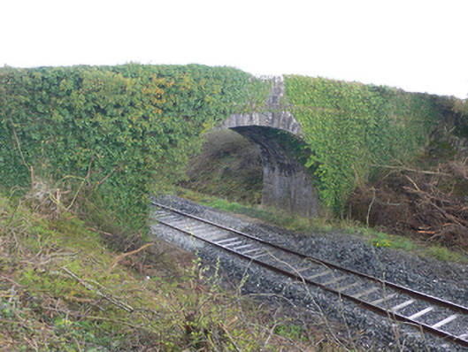 bridgebridge · 1022 yd
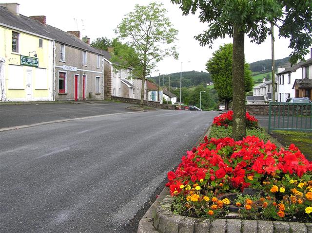 Man-made underground passage in Cappagh (kilconnell By.)Man-made underground passage · 1106 yd
 Enclosure in Gortnaglogh (clonmacnowen By.),kilmalawEnclosure · 1367 yd
 Oak WoodWood · 1.3 mi
 Site of Cloonigny CastleCastle, unclassified · 1.8 mi
 Kilconnell AbbeyHeritage attraction · 2.0 mi
 Castle (Site of)Castle, Anglo-Norman masonry castle · 2.2 mi
 Battle of Aughrim Interpretative CentreMuseum · 2.3 mi
 Battle of AughrimMajor battlefield · 2.9 mi
 The bloody HollowHeritage attraction · 3.1 mi
 European ashEuropean ash · 3.2 mi