What is recorded here
Within W half of a ringfort (GA074-019----). What is visible is a roughly pear-shaped hollow (L 8.8m, Wth 2.5m max.), up to 1m in depth, its long axis running NNE-SSW. Two opposing flagstones, 1m apart, protrude from the sod towards the shallower NNE end. Large stones are evident along the sides and bottom in this area, dividing the hollow into two unequal parts. The remains are open to interpretation as a robbed-out Man-made underground passage chamber and creep, but could also represent those of a poorly preserved limekiln.
The above description is derived from the published 'Archaeological Inventory of County Galway Vol. II - North Galway'. Compiled by Olive Alcock, Kathy de hÓra and Paul Gosling (Dublin: Stationery Office, 1999).
Date of upload: 05 August 2010
The monument record does not grant public access. Check the route and ask the landowner before entering private land.
- What survives
- Recorded monument
Places near here
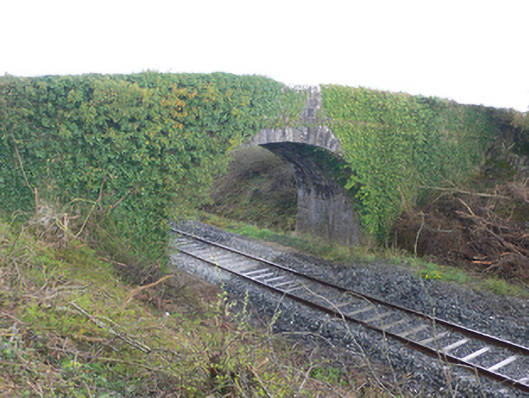 bridgebridge · 303 yd
 Enclosure in Gortnaglogh (clonmacnowen By.),kilmalawEnclosure · 567 yd
 CloonignyArchaeological place · 1378 yd
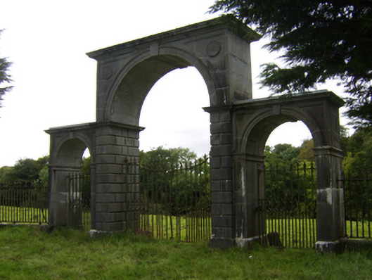 Northbrook Housegates/railings/walls · 1.2 mi
 Site of Cloonigny CastleCastle, unclassified · 1.2 mi
 Oak WoodWood · 1.9 mi
 Kilconnell AbbeyHeritage attraction · 2.0 mi
 Ballynabanaba CastleCastle, tower house · 2.1 mi
 European ashEuropean ash · 2.6 mi
 Battle of Aughrim Interpretative CentreMuseum · 2.8 mi
 Battle of AughrimMajor battlefield · 3.4 mi
 The bloody HollowHeritage attraction · 3.6 mi
Other information
Photo: Credit not shown in the picture search · Rights wording not checked; contact us if this picture should be removed