What is recorded here
On a slight N facing slope in gently undulating countryside. Ringfort (WM033-022----) located 480m to W. Possible standing stone located in SW quadrant of ringfort (WM033-023----) consists of a large boulder known locally as the 'Giant's Grave' (SMR File) but which appears to be the result of quarrying or a field clearance boulder. The boulder which does not have the classic appearance of a standing stone sits in a small hollow or depression. According to the local farmer bones were dug up from around the base of the stone which are now housed in the British Museum (SMR File).
Compiled by: Caimin O’Brien
Date of upload: 26 July 2013
Probably dates to the Early Christian or Bronze Age period, given its proximity to a ringfort and the common association of standing stones with ritual or territorial markers. It may have had a ceremonial function or been linked to local folklore, though specific meaning or use is not recorded.
The monument record does not grant public access. Check the route and ask the landowner before entering private land.
- What survives
- Recorded monument
Places near here
 Partially hachuredFairy fort / earthen ringfort · 11 yd
 Calverstown Houseoutbuilding · 1053 yd
 OutlinedEnclosure · 1278 yd
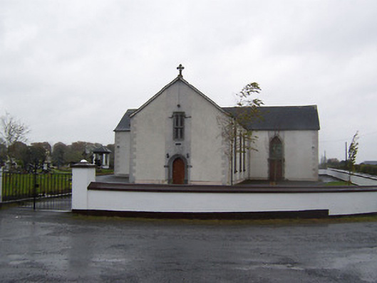 Catholic Church of the Sacred Heartchurch/chapel · 1.1 mi
 Robinstown CastleCastle · 1.5 mi
 CastleCastle, tower house · 1.7 mi
 Dysart IslandIsland · 3.2 mi
 Ash IslandIslet · 3.5 mi
 Derrygreenagh HillMountain / peak · 5.5 mi
 Ardan WoodWood · 5.6 mi
 Bonfire HillMountain / peak · 6.3 mi
 Ancient Ring FortWood · 6.6 mi