What is recorded here
In gently undulating and improved pasture, 80m W of farmyard and 220m SE of a townland boundary with Rawleystown. Standing stone (LI032-069----) lies 260m to ENE. Not depicted on OSi historic maps. Identified by Grogan (1989, 268) as ‘Cahercorney 2’. Monument visited by the ASI in 2007 and described as no surface remains visible. Field boundary adjacent to NE has been removed and large piles of field clearance material visible in this area. Site of monument is not visible on OSi orthoimages taken 2005-2012 or on Digital Globe orthoimages taken 2011-2013 or on Google Earth orthoimage taken 20/09/2020. The precise location of this monument cannot be confirmed as there is no access to thesis in the paper file.
See attached Google Earth orthoimage
Compiled by: Alison McQueen and Vera Rahilly
Date of upload: 9 November 2020
This remains an important historical record, but the official description says the monument is no longer visible or has been destroyed. The monument record does not grant public access. Check the route and ask the landowner before entering private land.
- What survives
- No visible remains or recorded as destroyed
Places near here
 Dotted outlineFairy fort / stone ringfort · 576 yd
 Field system in CahercorneyField system · 661 yd
 mausoleummausoleum · 802 yd
 OultinedBawn · 886 yd
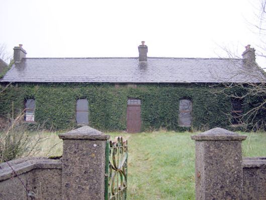 Lake Viewhouse · 1403 yd
 Lough Gur Heritage CentreVisitor information · 1418 yd
 The SpectaclesVisitor information · 1442 yd
 Pedunculate OakPedunculate Oak · 1678 yd
 Black Castle (in ruins)Castle, tower house · 1.3 mi
 Grange Stone CircleArchaeological place · 1.9 mi
 Lough GurVisitor information · 1.9 mi
 Banoge's WellSpring · 2.5 mi