
What is recorded here
On a steep SW-facing slope, in improved rough pasture, adjoining a townland boundary with Loughgur to W and 1.3km E of Lough Gur. Not depicted on OSi historic maps. Monument identified by the Bruff aerial photographic survey in 1986 (Bruff 285: AP4/3639) as a subrectangular-shaped area (27ha/67 acres) covering six modern fields and containing traces of six narrow linear-shaped cropmarks and earthworks running NE-SW. Levelled portion of monument is visible as a linear-shaped cropmark (L 200m) running NE-SW across a portion of the southern-most field as seen on OSi orthoimage taken 2005-2012, although is not clearly visible on Digital Globe orthoimage taken 2011-2013 or on Google Earth orthoimage 28/06/2018. There are no traces of these linear-shaped features in the second, third or fourth field from S, where the land appears much improved, as seen on modern orthophotos. Upstanding portion of monument is visible as two narrow linear-shaped earthworks (min. L 250m; max. L 380m) running NE-SW which are visible in the two northern most fields and have the appearance of relic field boundaries, as seen on OSi orthoimage taken 2005-2012.
See attached Google Earth orthoimage, Bruff aerial survey image labelled 285
Compiled by: Alison McQueen and Vera Rahilly
Date of upload: 28 November 2020
The monument record does not grant public access. Check the route and ask the landowner before entering private land.
- What survives
- Recorded monument
Places near here
 mausoleummausoleum · 423 yd
 Burl. Gd.Graveyard · 433 yd
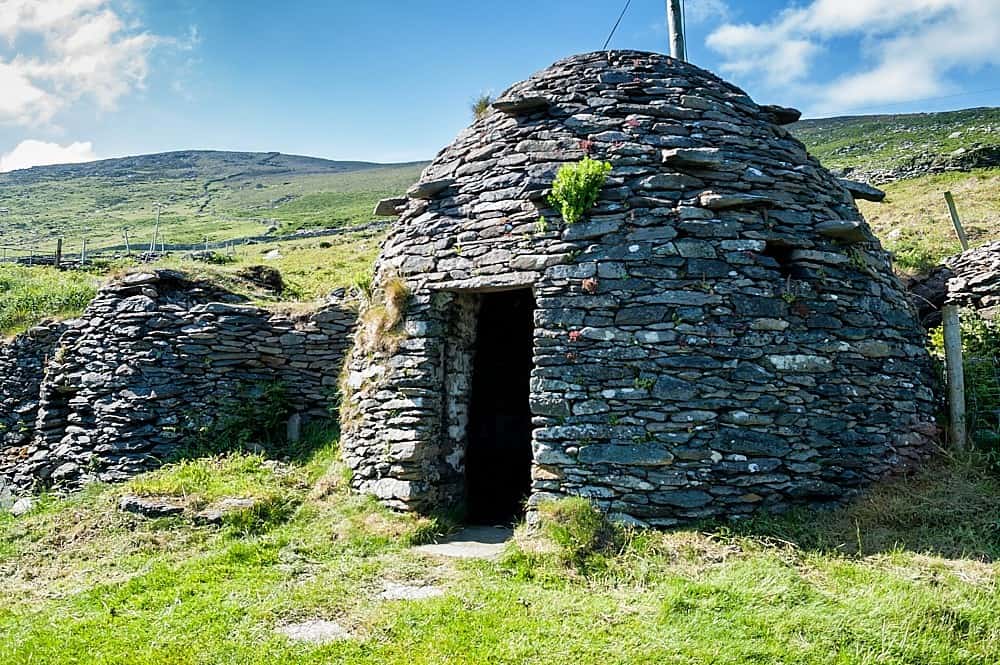 Hut site in LoughgurHut site · 759 yd
 Knockbologue Househouse · 904 yd
 OultinedBawn · 1546 yd
 Lough Gur Heritage CentreVisitor information · 1638 yd
 The SpectaclesVisitor information · 1710 yd
 Pedunculate OakPedunculate Oak · 1.0 mi
 Black Castle (in ruins)Castle, tower house · 1.3 mi
 Grange Stone CircleArchaeological place · 2.0 mi
 Lough GurVisitor information · 2.0 mi
 KnockainyMountain / peak · 3.3 mi
Other information
Photo: Credit not shown in the picture search · Rights wording not checked; contact us if this picture should be removed