What is recorded here
Located at what was a N-facing slope overlooking the valley of the River Liffey before it was flooded and turned into the Pollaphuca reservoir. The standing stone is just on the NW side (by c. 1-2m) of a relict field bank extending off to the NE and visible now as the stumps of bushes. This field bank is marked on the Cassini OS map. The standing stone is on a point jutting out into the reservoir at the moment, and this would agree with the contours on the Cassini map suggesting it is a low spur. There is a wide view out from W-N-E and three passage tombs on top of mountains to the E are within view.
The shore is very steep here and even though the standing stone is only about 3m out from firm ground a black silt has accumulated between the stone and shore. The mud makes it impossible to get near the stone but the firm ground can be felt 45cm below its surface. The visible height above the mud is 85cm and it comes to a point. The stone is probably granite and at the mud surface it has a rectangular cross-section 35cm x 25cm with the long axis aligned 290 degrees (magnetic). It has a total height above the subsoil of 1.3m. The stone leans a little to the N and its point is over the N side.
Compiled by: Caimin O'Brien based on details provided by Michael Moore
Date of upload: 4 October 2018
Probably dating to the Late Neolithic or Bronze Age, the stone may have marked a boundary or had ritual significance in a landscape altered by later land use and reservoir creation. No specific folklore or detailed use is recorded for this site.
The monument record does not grant public access. Check the route and ask the landowner before entering private land.
- What survives
- Recorded monument
Places near here
 Scurlocks Grave Yd. (Disused)Ecclesiastical enclosure · 796 yd
 Enclosure in CrosscoolharbourEnclosure · 1010 yd
 CastleCastle, tower house · 1468 yd
 Blessington Bridgebridge · 1481 yd
 Site of CastleCastle, unclassified · 1.1 mi
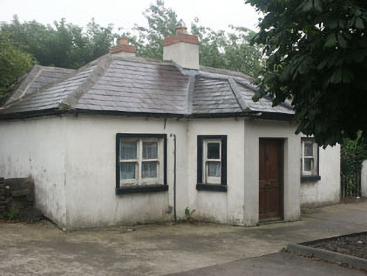 The Toll Housetoll house · 1.2 mi
 OldcourtMemorial · 1.2 mi
 Dame Ninette de ValoisMemorial · 1.4 mi
 Blessington DemesneWood · 1.8 mi
 Lacken – Mass Path LoopWalking route · 2.0 mi
 Deer Park PlantationForest · 2.2 mi
 Sorrel HillMountain / peak · 2.9 mi