What is recorded here
Situated in a shallow depression, on a low rise, in undulating pasture. Monument described in 1978 as a rough limestone slab (H 1.7m; L 0.55m; Wth 0.4m) long-axis orientated NE-SW with a low mound of packing stones around the base.
Compiled by Alison McQueen, Vera Rahilly and Caimin O’Brien.
Date of upload: 05 September 2019
Probably dating to the Late Neolithic or Bronze Age, this standing stone may have had ceremonial or territorial significance. Its orientation and placement suggest possible ritual use, though specific folklore or symbolic meaning is not recorded.
The monument record does not grant public access. Check the route and ask the landowner before entering private land.
- What survives
- Recorded monument
Places near here
 Tober FintanHoly well · 316 yd
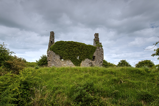 Dundonnell CastleCastle, unclassified · 1239 yd
 Jamestown Househouse · 1318 yd
 Bawn in Tuitestown (moyashel & Magheradernon By.)Bawn · 1672 yd
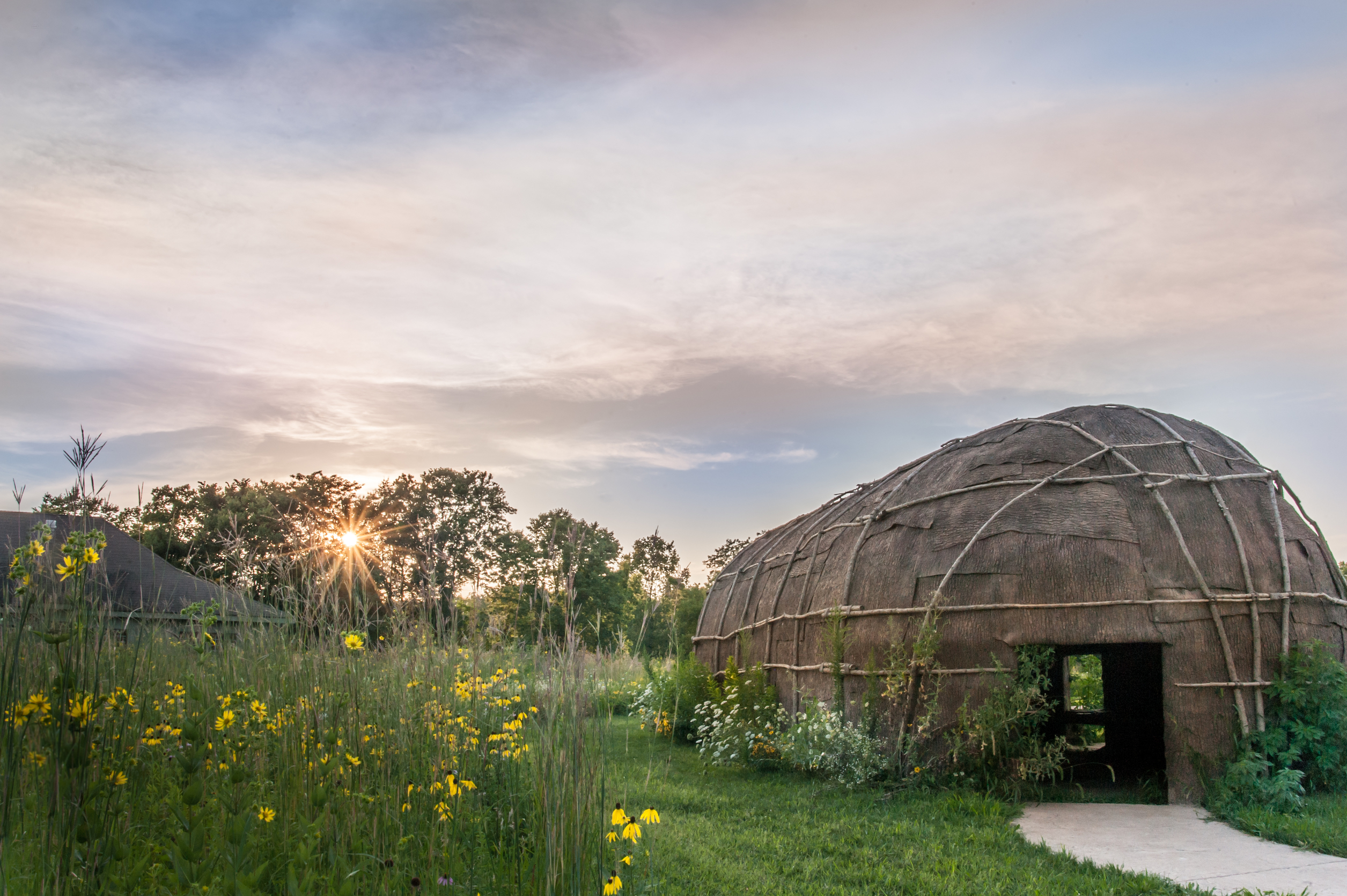 Enclosure in Tuitestown (moyashel & Magheradernon By.)Enclosure · 1.2 mi
 R.C. ChapelChapel · 1.2 mi
 Ancient Ring FortWood · 1.2 mi
 Hill of UisneachMountain / peak · 4.2 mi
 Carrickphilbin IslandIslet · 5.0 mi
 Srudarra IslandIslet · 5.1 mi
 European ashEuropean ash · 5.1 mi
 Abbeyshrule AbbeyRuins · 9.7 mi