What is recorded here
In pasture, on SW-facing slope. Upright stone (H 2.82m; 1.4m x 0.52m) with long axis ENE-WSW; packing stones exposed at base. Second stone (L 1.9m; 0.6m x 0.4m) lies immediately to E; according to local information once standing.
The above description is derived from the published 'Archaeological Inventory of County Cork. Volume 2: East and South Cork' (Dublin: Stationery Office, 1994). In certain instances the entries have been revised and updated in the light of recent research.
Date of upload/revision: 14 January 2009
Probably dating to the Late Neolithic or Bronze Age, this standing stone may have had ritual or territorial significance. Local tradition or folklore is not specified, but such stones were often associated with ceremonial practices or markers of sacred space.
The monument record does not grant public access. Check the route and ask the landowner before entering private land.
- What survives
- Recorded monument
Places near here
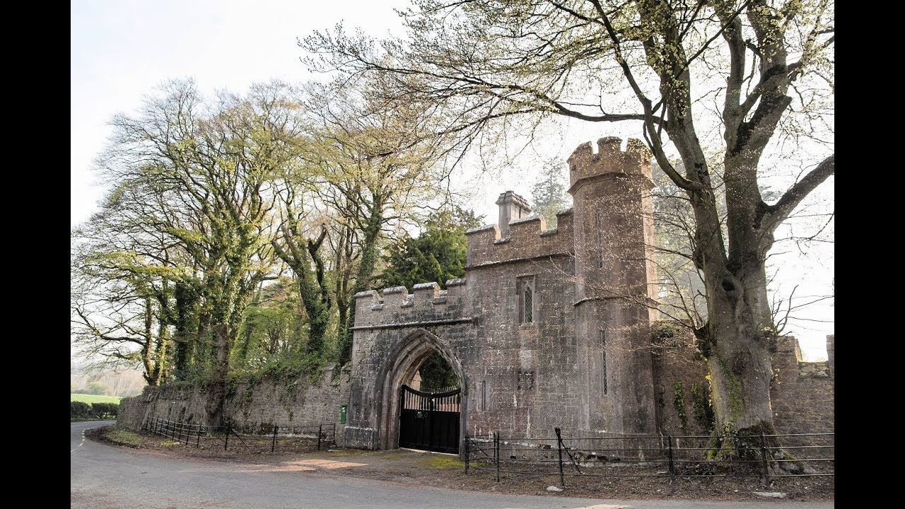 Enclosure in MonavarnogeEnclosure · 515 yd
 Leahy's Open FarmHeritage attraction · 1.7 mi
 Enclosure in Corbally (imokilly By., Dangandonovan Par.)Enclosure · 1.7 mi
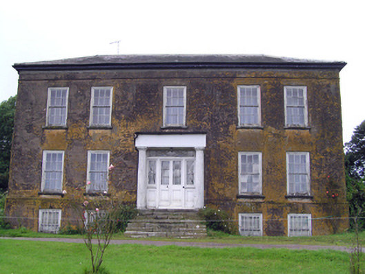 Ballyrecountry house · 1.7 mi
 Glengarracountry house · 1.8 mi
 Salt HillMountain / peak · 2.3 mi
 Ballyknock Castle (Site of)Castle, unclassified · 2.9 mi
 Clonmult Ambush SiteBattlefield · 3.1 mi
 Glenbower WoodForest · 3.4 mi
 Castle (in Ruins)Castle, unclassified · 3.8 mi
 Fainin's WellSpring · 3.9 mi
 Graveyard in KillasseraghGraveyard · 4.7 mi