What is recorded here
On farmland, in open pasture. Overlooking a shallow valley to the NW. A sandstone standing stone (H 1.54m, Wth 0.44m) with a bulbous top-heavy appearance tapering to a narrow base. There is an enclosure (KE018-003001-) containing a cillin (KE018-003002-) c. 200m to the SE.
Compiled by: Matt Kelleher
Date of upload/revision: 8 November 2021
Dated to the Bronze Age (c. 2500–500 BCE), the standing stone may have had ritual or territorial significance, possibly linked to the nearby enclosure. Such stones were often used as markers, ceremonial sites, or astronomical alignments, though local folklore or specific use remains undocumented.
The monument record does not grant public access. Check the route and ask the landowner before entering private land.
- What survives
- Recorded monument
Places near here
 Reverend William Casey Monumentmonument · 1.0 mi
 OutlinedGraveyard · 1.0 mi
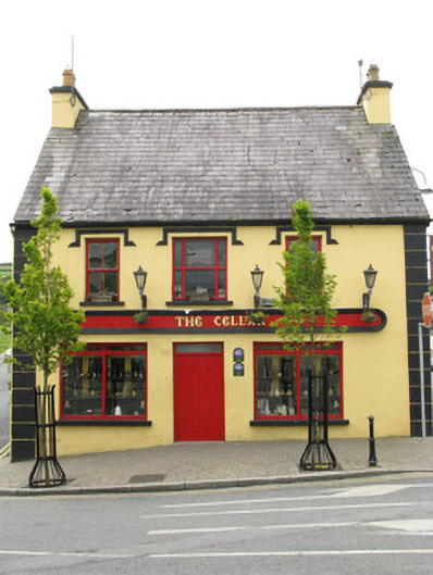 public housepublic house · 1.0 mi
 Purt CastleCastle · 1.2 mi
 Enclosure in Abbeyfeale EastEnclosure · 1.5 mi
 CastleCastle, tower house · 6.6 mi
 Three CountiesPicnic place · 7.4 mi
 John B. KeaneMemorial · 7.6 mi
 Holocaust MemorialMemorial · 7.6 mi
 Kerry Writers' MuseumMuseum · 8.0 mi
 Lartigue MonorailMuseum · 8.3 mi
 KnockateeMountain / peak · 9.1 mi