What is recorded here
Fairy fort / earthen ringfort in Ballymacjordan stands in County Kerry, Ireland. A circular enclosure appeared on the 1841-42 OS map, but only a tiny bank section remained visible by 1915. The earth has taken back the shape, leaving behind a name that suggests something smaller, quicker and less honest than human history.
This circular enclosure appears on the 1841-42 OS map. Only a tiny section of the enclosing bank of the NW through N to NE survives on the 1915 OS map, and no surface trace remains today.
The above description is derived from C. Toal, ‘North Kerry Archaeological Survey’. Dingle. Brandon in association with FAS Training and Employment Authority (1995), no. 662. In certain instances the entries have been revised and updated in the light of recent research.
Date of upload: 2 August 2013
The monument record does not grant public access. Check the route and ask the landowner before entering private land.
- What survives
- Recorded monument
Places near here
 Purt CastleCastle · 1003 yd
 Allaghaun Bridgebridge · 1546 yd
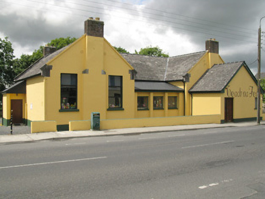 schoolschool · 1610 yd
 OutlinedGraveyard · 1.0 mi
 BarrowBarrow, ring-barrow · 1.5 mi
 CastleCastle, tower house · 6.3 mi
 John B. KeaneMemorial · 7.3 mi
 Holocaust MemorialMemorial · 7.4 mi
 Kerry Writers' MuseumMuseum · 7.8 mi
 Three CountiesPicnic place · 7.8 mi
 Lartigue MonorailMuseum · 8.1 mi
 KnockateeMountain / peak · 9.7 mi