What is recorded here
Standing stone in Ballymunterhiggin is a leaning marker on a rocky Donegal ridge, still preserving the east-west line recorded in 1946. It rises about 1.1m from rough pasture, narrow enough to suggest two stones faced one another across 36ft. The missing partner may lie discarded nearby, forgotten by sheep and rain. The ridge keeps the shape of that lost alignment, waiting for someone to walk the line and imagine what it marked.
A standing stone, leaning considerably but originally c. 1.1m high × 0.75m wide. This is probably one of the two stones '36ft apart and orientated almost due E-W' which were previously recorded at the site in 1946 (Davies). A loose stone lying nearby may be the second stone referred to. Situated in rough pasture land near the summit of a rocky ridge.
The above description was derived from the 'Archaeological Survey of County Donegal. A description of the field antiquities of the County from the Mesolithic Period to the 17th century.' Compiled by: Brian Lacey with Eamon Cody, Claire Cotter, Judy Cuppage, Noel Dunne, Vincent Hurley, Celie O'Rahilly, Paul Walsh and Seán Ó Nualláin (Lifford: Donegal County Council, 1983). In certain instances the entries have been revised and updated.
Date of upload: 22 September 2008
The monument record does not grant public access. Check the route and ask the landowner before entering private land.
- What survives
- Recorded monument
Places near here
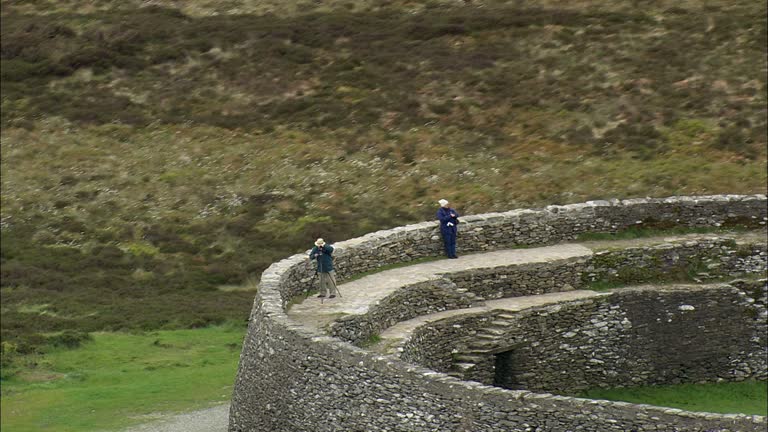 Carrickboy Stone RingfortFairy fort / stone ringfort · 418 yd
 bridgebridge · 782 yd
 TobernacreevaHoly well · 970 yd
 Church in RuinsChurch · 981 yd
 CastleCastle, unclassified · 1686 yd
 St Anne's Church GraveyardGraveyard · 1.0 mi
 Castle in ruinsCastle, unclassified · 1.9 mi
 Wardtown StrandBeach / strand · 2.0 mi
 Tullan StrandBeach / strand · 2.1 mi
 Finner Old GraveyardGraveyard · 2.3 mi
 Cliffs by BundoranPublicly named cliff or headland · 2.7 mi
 Fairy BrigesHeritage attraction · 2.9 mi