What is recorded here
On a steep N-facing slope, in pasture. Upright conglomerate stone (1.25m x 0.75m; H 1.65m), rectangular in plan and oriented NW-SE. There are small packing stones around base. An enclosure (TS067-068----) lies c. 185m to the NW.
Compiled by: Jean Farrelly
Date of upload: 26 August 2011
Probably dates to the Neolithic or Bronze Age, given its form and context. It may have had a ritual or territorial function, possibly linked to the nearby enclosure.
The monument record does not grant public access. Check the route and ask the landowner before entering private land.
- What survives
- Recorded monument
Places near here
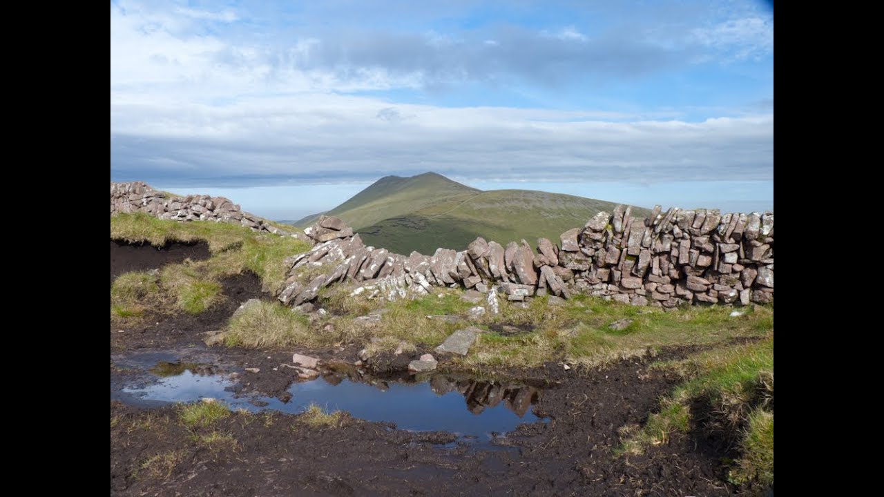 IndicatedEnclosure · 264 yd
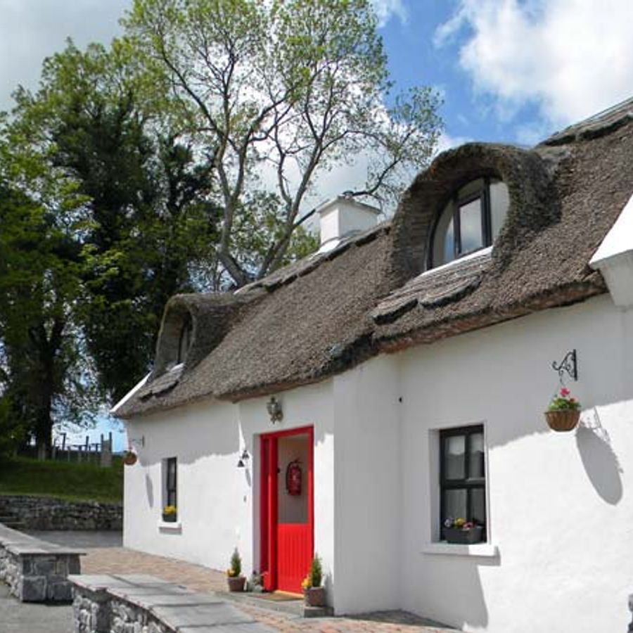 Enclosure in Ballyglass Upper (clonpet Par.)Enclosure · 745 yd
 The RockViewpoint · 1056 yd
 Glen of AherlowViewpoint · 1082 yd
 Christ the KingViewpoint · 1098 yd
 Breansha Castle ruinsCastle · 1394 yd
 Bawn in Breansha MoreBawn · 1403 yd
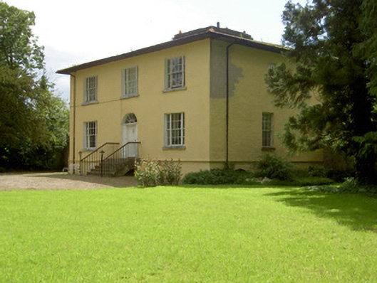 Brookville Househouse · 1470 yd
 Ardloman Court (in Ruins)House, 17th century · 1.2 mi
 Bansha ForestForest · 1.5 mi
 The Maid of ErinMemorial · 2.4 mi
 SlievenamuckMountain / peak · 2.7 mi