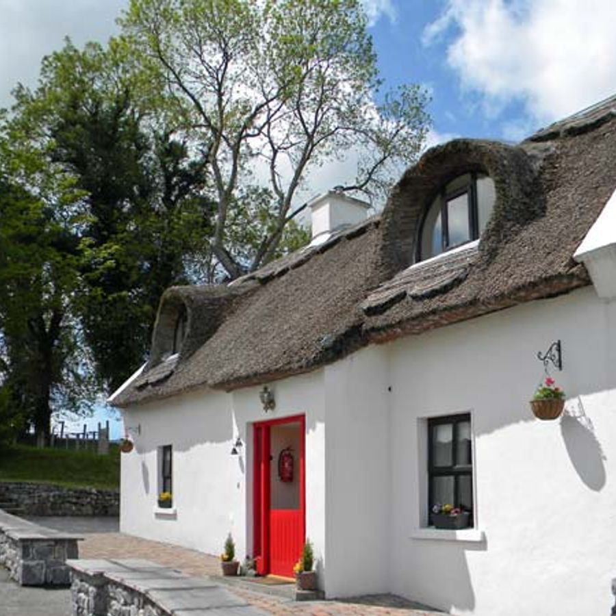
What is recorded here
In pasture on a gentle N-facing slope. Circular enclosure (dims. c. 23m N-S; c. 22m E-W) defined by remnants of inner earthen bank (Wth c. 3m; int. H c. 0.6m; ext. H c. 0.5m) NE-E-S-SW. Breach (Wth 3.8m) at E and S. Intervening fosse (Wth 4.5m; basal Wth 1.75; Dth 0.5m). Outer bank (Wth c. 2.78m; int. H 1.25m; ext. H 0.75m) NE-E-S-NW. Traces of outer fosse (Wth 3.58m; basal Wth1.8m; D 0.1m) NE-E-S-SW. Interior slopes downwards to N, mature trees within, on banks and in fosses. Enclosure truncated in N-sector due to modern dwelling and garden, c. 20 years old. Enclosed to E and S by field boundary flanked by public road. Gortavoher Wood on rising ground to S.
Compiled by: Jean Farrelly
Date of upload: 26 August 2011
The monument record does not grant public access. Check the route and ask the landowner before entering private land.
- What survives
- Recorded monument
Places near here
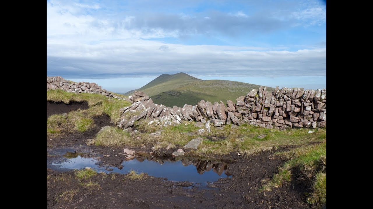 IndicatedEnclosure · 498 yd
 The RockViewpoint · 571 yd
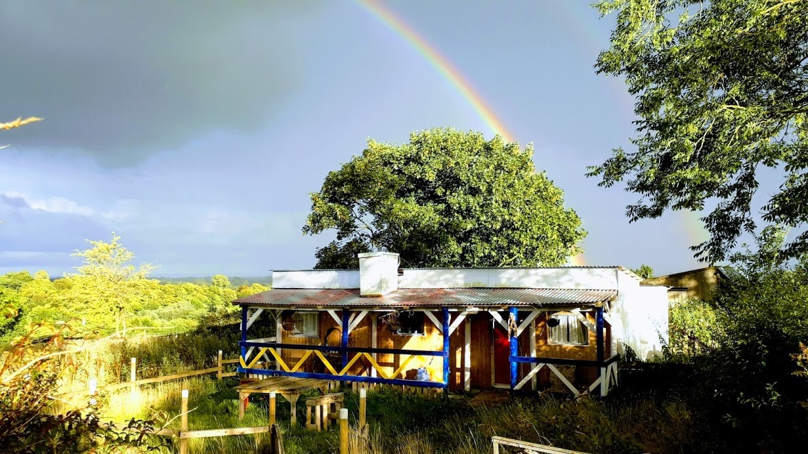 Enclosure in Ballyglass Lower (clonpet Par.),ballyglass Lower (cordangan Par.)Enclosure · 741 yd
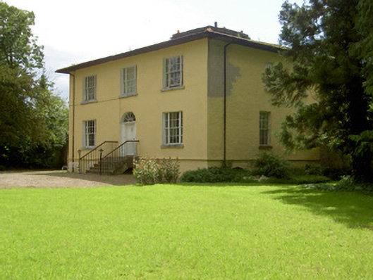 Brookville Househouse · 930 yd
 Breansha Castle ruinsCastle · 1402 yd
 Bawn in Breansha MoreBawn · 1412 yd
 Christ the KingViewpoint · 1439 yd
 Glen of AherlowViewpoint · 1476 yd
 Streamhill Househouse · 1.2 mi
 Bansha ForestForest · 1.9 mi
 The Maid of ErinMemorial · 2.2 mi
 Glengarra WoodWood · 2.9 mi
Other information
Photo: Credit not shown in the picture search · Rights wording not checked; contact us if this picture should be removed