What is recorded here
Fort (KE038-010003-) and possible standing stone described by Hitchcock (1854-5) as follows; 'The few portions of bones which I send were picked up by myself in underground chamber discovered, towards the end of June last, on the Messrs. Hilliard's at Ballydunlea, near Tralee. As this was evidently the first time the Man-made underground passage (KE038-010001-) had been disturbed since its desertion by the original occupants, perhaps I may be permitted to give some account of it. The 'cave' was discovered in the course of digging up an old stone fence which ran down through the length of the field. There is no trace of a fort on the surface; but a mound like a portion of tumulus [KE038-010002-] is to be seen, overgrown with blackthorn, briers, &c. This mound may have formed part of the embankment of fort; but it is now difficult to ascertain this, as it seems to have lost much of its original form, and no further trace of a fort remains. The entrance to the cave is from the west side, where we get into a long passage, which slopes down deeper till it reaches the level of the door of the inner chamber. The entrance passage and chamber lie nearly east and west, and as the old fence lay in the same direction, it must have passed over them. I could see no trace of an inscription on any of the lintels in this Man-made underground passage. In the adjoining field, and nearer to the river, there is what I always considered an interesting fort [KE038-010003-]. It is formed of small stones, I believe rather a rare occurrence and in the centre is a large and rude stone [KE038-010004-], placed in an oblique position, as if it had served the purpose of an altar for sacrifice. I have often sat on this stone, meditating on its probable use, and on the curious fort in which it is situated'.
See field inspection report (diary NF7, 189-90) (SMR file). According to the report, the original location of this possible standing stone was at the centre of the cashel (KE038-010003-). The landowner informed the fieldworker that stone is still here but is now buried.
Compiled by: Caimin O'Brien
Date of upload: 28 January 2022
This remains an important historical record, but the official description says the monument is no longer visible or has been destroyed. The monument record does not grant public access. Check the route and ask the landowner before entering private land.
- What survives
- No visible remains or recorded as destroyed
Places near here
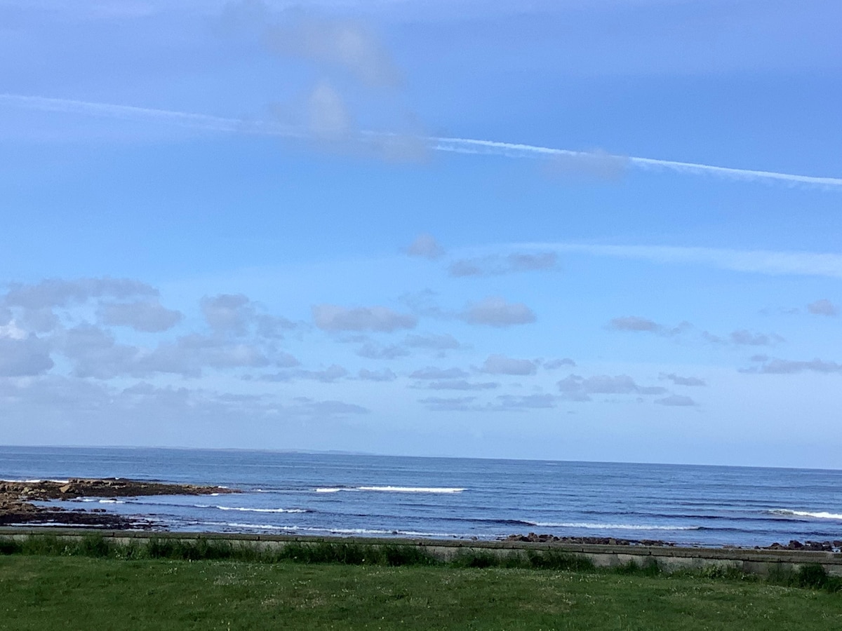
 Field system in BallydunleaField system · 126 yd
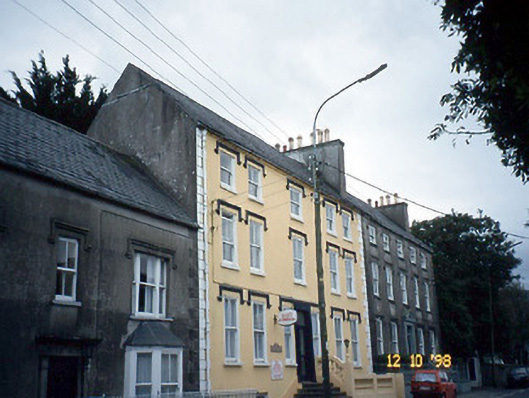
 Enclosure in ClahaneEnclosure · 409 yd
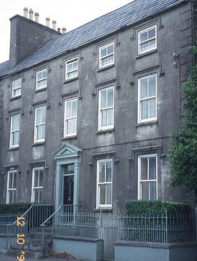
 Curragraigue Househouse · 1371 yd
 The Orchardhouse · 1373 yd
 Tralee Bay Wetlands Eco and Activity ParkNature reserve · 1484 yd
 Blennerville WindmillHeritage attraction · 1535 yd
 View of WindmillHeritage attraction · 1643 yd
 Sonny McCarthy MemorialMonument · 1.2 mi
 Pádraig Mac PiaraisMemorial · 1.3 mi
 CastleCastle, unclassified · 1.4 mi
 Knockmichael MountainMountain / peak · 1.5 mi
 Castle MacallistrumCastle, unclassified · 1.6 mi