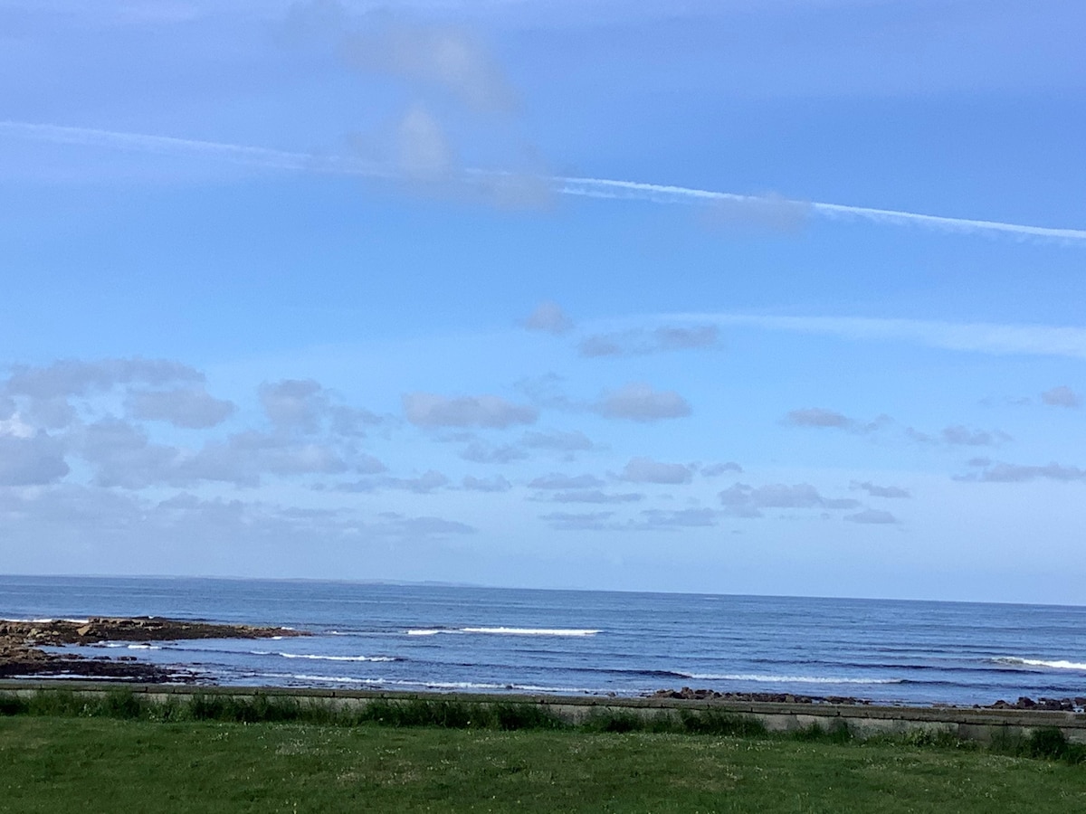
What is recorded here
See field inspection report (diary NF6, 40-1) (SMR file). According to the report this enclosure was shown on the 1846 ed. OSi 6-inch map, but by the 2nd edition (1892), it had been levelled. There is now no visible surface trace of the enclosure. Small circular-shaped earthwork intersected at N by a field boundary running E-W on 1841 ed. OSi 6-inch map. Outline of levelled enclosure (diam. c. 19m) visible on Digital Globe aerial image taken between 2011-13.
See attached Google Earth orthoimages
A local fairy fort (ringfort/rath); wider significance not recorded.
The monument record does not grant public access. Check the route and ask the landowner before entering private land.
- What survives
- Recorded monument
Places near here
 Field system in BallydunleaField system · 450 yd
 Enclosure in BallydunleaEnclosure · 601 yd
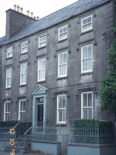 The Orchardhouse · 1676 yd
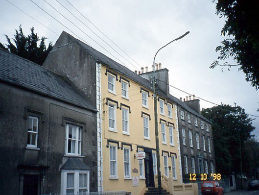 Curragraigue Househouse · 1676 yd
 Blennerville WindmillHeritage attraction · 1.0 mi
 Tralee Bay Wetlands Eco and Activity ParkNature reserve · 1.1 mi
 View of WindmillHeritage attraction · 1.1 mi
 Knockmichael MountainMountain / peak · 1.2 mi
 Scotia's GraveArchaeological place · 1.4 mi
 Sonny McCarthy MemorialMonument · 1.4 mi
 CastleCastle, unclassified · 1.6 mi
 Castle MacallistrumCastle, unclassified · 1.8 mi
Other information
Photo: Credit not shown in the picture search · Rights wording not checked; contact us if this picture should be removed