
What is recorded here
'This site is located in a large amalgamated field in gently sloping land, which is devoted to strip-grazing for cattle. All views to the north are obscured by the rise in the land, but the dominant aspect is to the south, south-east and south-west. Total dimensions of the site are 72.0m N-S by 62.0m E-W, the average width of the bank being 6.00m. The average height of the bank externally is 0.50m, the average internal height is 0.30m. No features can be discerned in the interior. A possible external ditch may be seen at west, 5.00m in width and 0.25m in depth, although this might also represent the remains of a now destroyed field fence.'
Compiled by Michael Connolly for the Archaeological Survey of Ireland as part of a survey of the Lee Valley area in 1996-97.
Date of upload: 03 May 2012
A local fairy fort (ringfort/rath); wider significance not recorded.
This remains an important historical record, but the official description says the monument is no longer visible or has been destroyed. The monument record does not grant public access. Check the route and ask the landowner before entering private land.
- What survives
- No visible remains or recorded as destroyed
Places near here
 Field system in BallydunleaField system · 418 yd
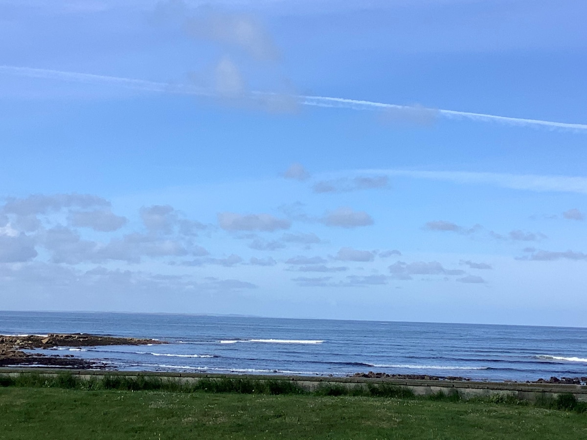 Enclosure in ClahaneEnclosure · 601 yd
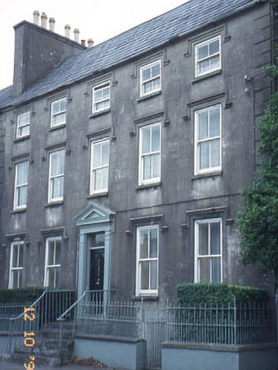 The Orchardhouse · 1144 yd
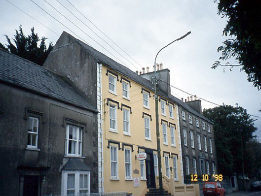 Curragraigue Househouse · 1149 yd
 Blennerville WindmillHeritage attraction · 1316 yd
 View of WindmillHeritage attraction · 1398 yd
 Tralee Bay Wetlands Eco and Activity ParkNature reserve · 1.1 mi
 Knockmichael MountainMountain / peak · 1.4 mi
 Sonny McCarthy MemorialMonument · 1.5 mi
 Pádraig Mac PiaraisMemorial · 1.5 mi
 CastleCastle, unclassified · 1.7 mi
 Castle MacallistrumCastle, unclassified · 1.8 mi
Other information
Photo: Credit not shown in the picture search · Rights wording not checked; contact us if this picture should be removed