
What is recorded here
Cropmarks of field system and cultivation ridges running E-W clearly visible on Google Earth orthoimages.
See attached Google Rarth orthoimages.
Compiled by: Caimin O'Brien
Date of upload: 28 January 2022
The monument record does not grant public access. Check the route and ask the landowner before entering private land.
- What survives
- Recorded monument
Places near here
 Enclosure in BallydunleaEnclosure · 418 yd
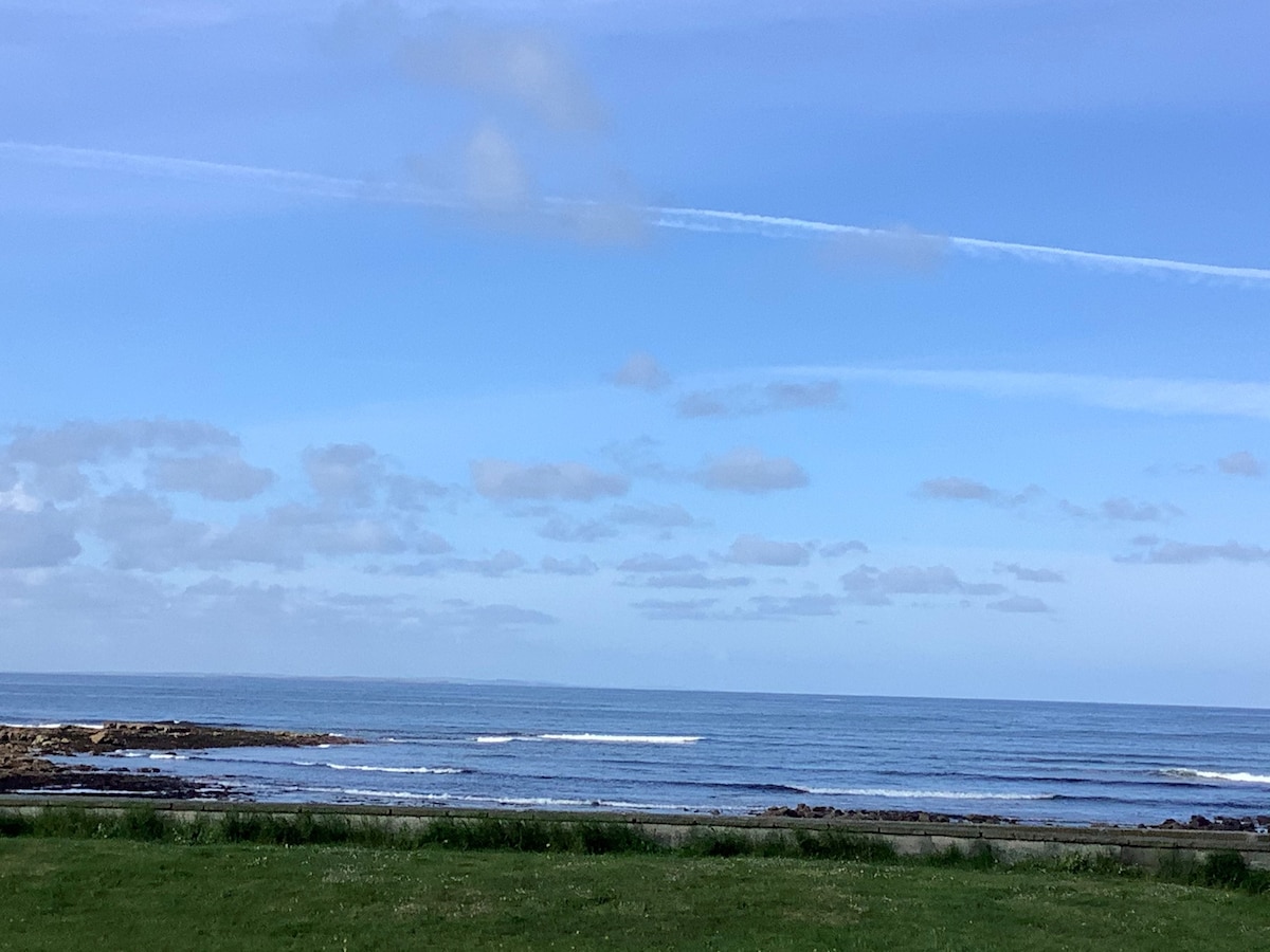 Enclosure in ClahaneEnclosure · 450 yd
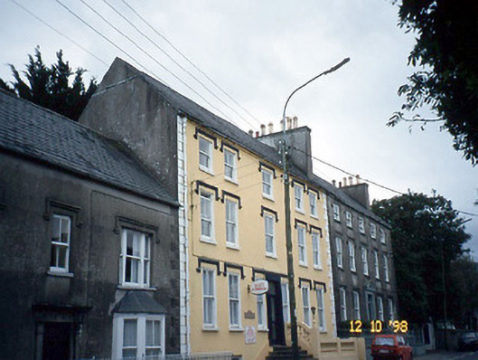 Curragraigue Househouse · 1266 yd
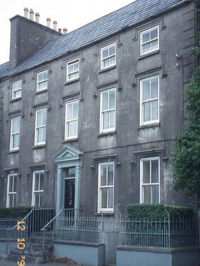 The Orchardhouse · 1267 yd
 Blennerville WindmillHeritage attraction · 1431 yd
 Tralee Bay Wetlands Eco and Activity ParkNature reserve · 1524 yd
 View of WindmillHeritage attraction · 1536 yd
 Sonny McCarthy MemorialMonument · 1.3 mi
 Pádraig Mac PiaraisMemorial · 1.3 mi
 Knockmichael MountainMountain / peak · 1.5 mi
 CastleCastle, unclassified · 1.5 mi
 Castle MacallistrumCastle, unclassified · 1.6 mi
Other information
Photo: Credit not shown in the picture search · Rights wording not checked; contact us if this picture should be removed