
What is recorded here
Fort (KE038-010003-) and possible standing stone described by Hitchcock (1854-5) as follows; 'The few portions of bones which I send were picked up by myself in underground chamber discovered, towards the end of June last, on the Messrs. Hilliard's at Ballydunlea, near Tralee. As this was evidently the first time the…
Read the whole record
From the National Monuments Service (Archaeological Survey of Ireland) record KE038-010004
Places near here
Photo credits
- Maker not stated on source page, uk.pinterest.com
- Dermot Crean / Tralee Today, traleetoday.ie
- Maker not stated on source page, www.irishmirror.ie
- National Inventory of Architectural Heritage
- Gareth James, Geograph · CC BY-SA 2.0
- N Chadwick, Wikimedia Commons · CC BY-SA 2.0
- Ian Taylor, Geograph · CC BY-SA 2.0
- Wikimedia Commons contributor · CC BY-SA 3.0
- Raymond Norris, Geograph · CC BY-SA 2.0
- John M, Wikimedia Commons · CC BY-SA 2.0
 Fairy fort / stone ringfort in BallydunleaFairy fort / stone ringfort · 9 yd
Explorer Tom Fairy fort / stone ringfort in Ballydunlea has a note written to its younger self. It says: 'Stop trying so hard…
 St. Pats Blennerville GAA pitchGAA ground · 1211 yd
 Fairy fort / earthen ringfort in CloghersFairy fort / earthen ringfort · 1256 yd
Explorer Tom Fairy fort / earthen ringfort in Cloghers thinks Dublin tourists are all wind, no substance, and probably can't tell a…
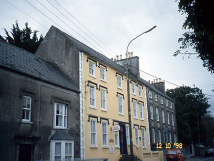 Curragraigue HouseHouse · 1371 yd
Explorer Tom Curragraigue House in Kerry is having a proper feud with the rain, dodging puddles since 1800. It's a terraced pair…
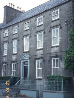 The OrchardHouse · 1373 yd
Explorer Tom The Orchard in Curragraigue has a pediment that looks like it’s trying to fly away from its own responsibilities. A…
 Blennerville HouseOutbuilding · 1406 yd
Explorer Tom Blennerville House outbuilding saw a love story go badly wrong right next to its carriage arch. The elliptical-headed…
 Blennerville WindmillVisitor information · 1504 yd
Explorer Tom Blennerville Windmill is listening to the local sheep’s opinion on its architectural choices, and they are not…
 Aqua DomeWater park · 1.0 mi
Explorer Tom Aqua Dome is secretly proud of one specific potato it keeps hidden behind the slides, probably as a backup plan for…
 Sonny McCarthy MemorialMonument · 1.2 mi
Explorer Tom The Sonny McCarthy Memorial in County Kerry would describe the 1800s to a teenager as 'a time when everyone wore bad…
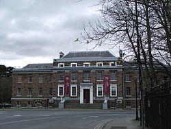 Kerry County MuseumMuseum · 1.3 mi
Explorer Tom Kerry County Museum occupies a building that once had councillors making decisions, and now lets the rest of us decide…
 Knockmichael MountainMountain / peak · 1.5 mi
Explorer Tom Knockmichael Mountain is like the awkward uncle at a wedding who keeps trying to dance but only hits his own feet. It’s…
 Scotia's GraveArchaeological place · 1.6 mi
Explorer Tom Scotia's Grave in County Kerry holds the fake world record for being the most confusingly named burial site in the…
More archaeology and monuments in County Kerry · All of County Kerry

What do you know about this place?Tap to add a comment or ask a question