What is recorded here
This record refers to the castle, known as 'Castle Mac Ellistrum' which was held in 1641 by Christopher Walsh. Its location is marked on the OS 6-inch map (1st ed). 1987 Urban Archaeology Survey Part XIV County Kerry. Unpublished report. Office of Public Works.
From the National Monuments Service (Archaeological Survey of Ireland) record KE029-119027
The monument record does not grant public access. Check the route and ask the landowner before entering private land.
- What survives
- Recorded monument
Places near here
Photo credits
- National Inventory of Architectural Heritage
- Patrick Wyse Jackson, Wikimedia Commons · CC BY-SA 4.0
- Ian Taylor, Geograph · CC BY-SA 2.0
- Wikimedia Commons contributor · CC BY-SA 3.0
- Raymond Norris, Geograph · CC BY-SA 2.0
- ATJWen, Wikimedia Commons · CC BY-SA 4.0
- Willow, Wikimedia Commons · CC BY 2.5
- Bernard, Geograph · CC BY-SA 2.0
- Adrian Platt, Geograph · CC BY-SA 2.0
- Jonathan Thacker, Geograph · CC BY-SA 2.0
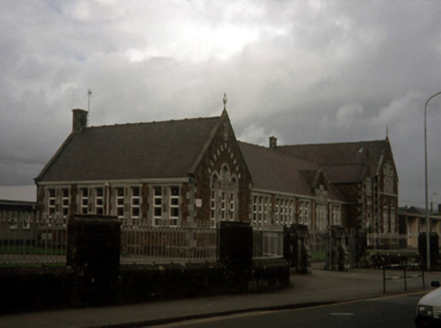 Saint John's Convent of MercySchool · 21 yd
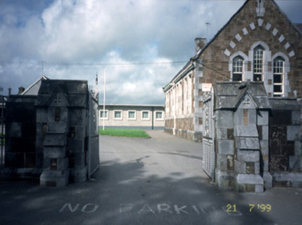 Saint John's Convent of MercyGates/railings/walls · 47 yd
 The PikemanMemorial · 583 yd
 Sonny McCarthy MemorialMonument · 769 yd
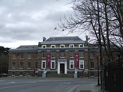 Kerry County MuseumMuseum · 784 yd
 Sunday's WellSpring · 1.1 mi
 Ogham stone in RatassOgham stone · 1.3 mi
 Knockmichael MountainMountain / peak · 3.0 mi
 Common Alder3.2 mi
 Tobar na MoltSpring · 3.6 mi
 Ardfert Franciscan FriaryVisitor information · 4.8 mi
 Ardfert FriaryVisitor information · 4.8 mi
More castles and forts in County Kerry · All of County Kerry
What do you know about this place?