What is recorded here
Ballybricken East holds a tilted limestone pillar, smooth where cattle rubbed themselves against its edges. The stone leans west like a weary giant, its curved apex pointing toward an unknowable sky. It has stood in level pasture long enough for animal bodies to polish its corners, suggesting generations of creatures sought relief or marking from its cool surface.
In level pasture. Upright stone (H 1.2m; Wth 0.3m; T 0.19m) of limestone is rectangular in plan with no obvious orientation. Distinct curve at apex. Stone tilts heavily to W. Smooth edges caused by cattle scratching against stone.
Compiled by: Denis Power
Date of upload: 31 October 2013
The monument record does not grant public access. Check the route and ask the landowner before entering private land.
- What survives
- Recorded monument
Places near here
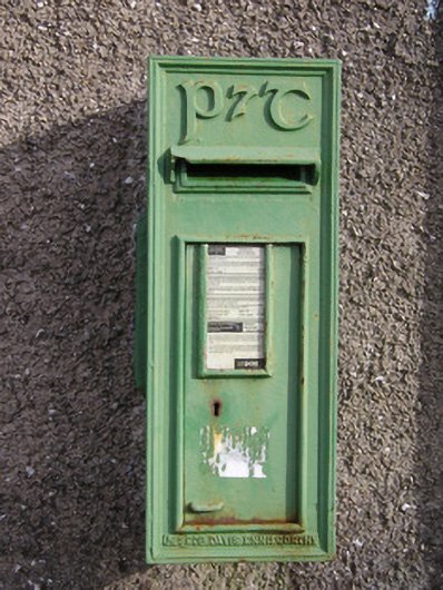 post boxpost box · 57 yd
 BarrowBarrow, ring-barrow · 403 yd
 Ballybricken Court (in ruins)Castle, tower house · 478 yd
 Enclosure in Ballybricken EastEnclosure · 593 yd
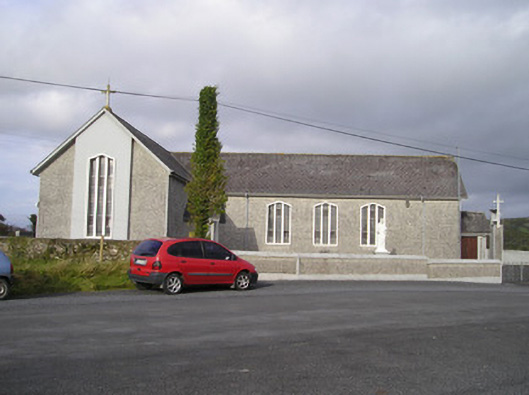 Saint Ailbe's Catholic Churchchurch/chapel · 764 yd
 CastleCastle, unclassified · 1640 yd
 St Lawrence's WellSpring · 1.7 mi
 Wych ElmWych Elm · 2.0 mi
 Banoge's WellSpring · 2.1 mi
 Kilteely HillMountain / peak · 5.4 mi
 Graveyard in AbingtonGraveyard · 5.8 mi
 KnockseefinMountain / peak · 6.0 mi