What is recorded here
One narrow stone still stands in a Cork pasture, leaning slightly across the grass like a finger pointing at nothing in particular. It is not large, barely taller than a person’s chest, yet it has outlasted every fence, road and kingdom drawn around it. Perhaps it marked a boundary, a burial or a promise made before writing existed. Whatever it meant, it is still giving the answer, waiting for someone patient enough to listen.
In pasture on S-facing slope. Subrectangular stone (H 1.15m; 0.5m x 0.2m), long axis E-W, narrowing towards top.
The above description is derived from the published 'Archaeological Inventory of County Cork. Volume 2: East and South Cork' (Dublin: Stationery Office, 1994). In certain instances the entries have been revised and updated in the light of recent research.
Date of upload/revision: 14 January 2009
The monument record does not grant public access. Check the route and ask the landowner before entering private land.
- What survives
- Recorded monument
Places near here
 farm housefarm house · 1491 yd
 Church in WhitechurchChurch · 1.1 mi
 Castle (Site of)Castle, unclassified · 1.2 mi
 IndicatedEnclosure · 1.4 mi
 Castle (in Ruins)Castle, tower house · 1.5 mi
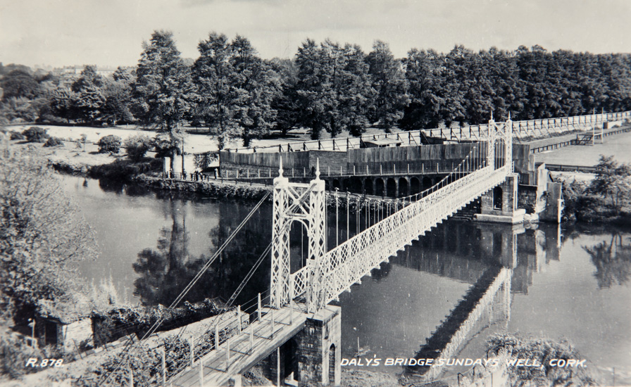 Sundays WellHoly well · 1.7 mi
 Lavitts QuayMemorial · 4.8 mi
 Cork WalksVisitor information · 4.9 mi
 Seefin East TopMountain / peak · 18 mi
 Mount Hillary - Knightfield LoopWalking route · 18 mi
 SeefinMountain / peak · 19 mi
 Clonavrick CliffCliff · 19 mi