What is recorded here
In scrub, on S-facing slope. Marked 'Lady's Well' on OS 6-inch map (1842). Stone built; roofed with cross-inscribed lintel. Stone crucifixion slab (c. 0.6m x c. 0.5m) (CO052-055----) atop roof; small cross inscribed on figure by visitors to well. In occassional use.
The above description is derived from the published 'Archaeological Inventory of County Cork. Volume 2: East and South Cork' (Dublin: Stationery Office, 1994). In certain instances the entries have been revised and updated in the light of recent research.
Date of upload/revision: 14 January 2009
Image provided by and copyright of Amanda Clarke 2016-2022 https://holywellscorkandkerry.com/
Linked to the veneration of the Virgin Mary, as indicated by the 'Lady's Well' designation on the 1842 map. The site includes a stone slab depicting the crucifixion, suggesting a Christian tradition of pilgrimage and prayer, possibly dating back to the early medieval period.
The monument record does not grant public access. Check the route and ask the landowner before entering private land.
- What survives
- Recorded monument
Places near here
 DolmenWedge tomb · 973 yd
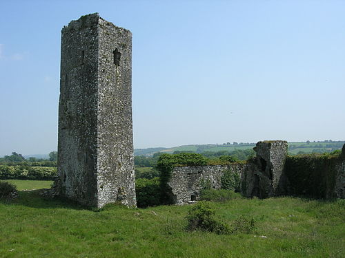 Man-made underground passage in GormleeMan-made underground passage · 1166 yd
 Carrignavar Bridgebridge · 1269 yd
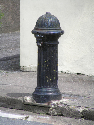 water pumpwater pump · 1294 yd
 Castle (in Ruins)Castle, tower house · 1.0 mi
 Graveyard in KilmonaGraveyard · 3.1 mi
 Old Cemetery KilcullyMemorial · 3.9 mi
 Garrycloyne Castle (in Ruins)Castle, tower house · 4.3 mi
 Murphy's RockViewpoint · 4.5 mi
 Clogheenmilcon Nature Reserve Killeens EndPicnic place · 4.5 mi
 Waterloo Loop WalkWalking route · 4.6 mi
 Ring WoodWood · 4.8 mi
Other information
Photo: Credit not shown in the picture search · Rights wording not checked; contact us if this picture should be removed