What is recorded here
Ballingoola No. 6 joins six neighbours and three distant stones in Clanwilliam to mark an ancient road reaching from Lough Gur Cross to the northern barony boundary. O'Kelly described the line in 1942-3, while a short visible track near another stone contained limestone chippings that cut across dark soil after ploughing in 1941. The stones still lay scattered through the townland, preserving a route that ordinary feet may have worn long before written memory.
Listed by O'Kelly (1942-3, 180) as Ballingoola No. 6. According to O'Kelly this standing stone was one of seven in the townland which marked the route of an ancient road which ran 'from Lough Gur Cross (LI032-061----) to the northern barony boundary. Beyond this (in the barony of Clanwilliam) the line is marked by further three stones. These stones seem to mark the line of an ancient road or track. The track itself is visible only for a short distance in the townland of Ballingoola connecting stones No. 2 and 3 above and continuing for some little distance on each side of them. Just north of stone No. 2 the track runs across a field which was ploughed in 1941. The surface of the track was disturbed and showed as a broad band of limestone chippings cutting across the dark coloured soil' (O'Kelly 1942-3, 180).
Compiled by: Caimin O'Brien
Date of upload: 26 September 2018
Dated to the Bronze Age, this standing stone likely served as a waymarker along an ancient route, possibly with ritual or ceremonial significance. Such stones were often used in prehistoric navigation or as territorial markers.
The monument record does not grant public access. Check the route and ask the landowner before entering private land.
- What survives
- Recorded monument
Places near here
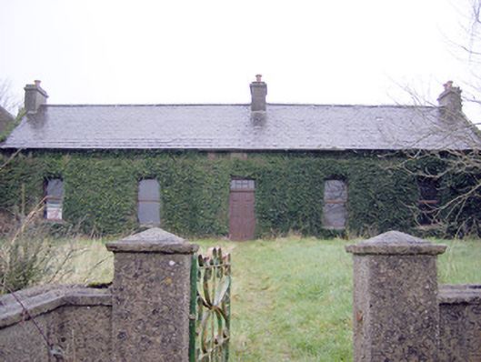 Lake Viewhouse · 468 yd
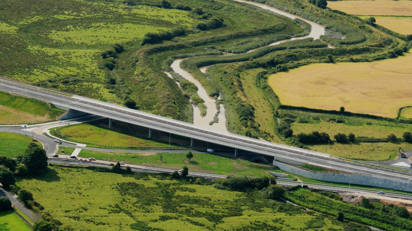 RoadRoad, road/trackway · 800 yd
 Platform in KnockfennellPlatform · 817 yd
 The SpectaclesVisitor information · 825 yd
 Dotted outlineFairy fort / stone ringfort · 830 yd
 OultinedBawn · 864 yd
 Lough Gur Heritage CentreVisitor information · 932 yd
 Pedunculate OakPedunculate Oak · 1239 yd
 Garret IslandCastle, unclassified · 1738 yd
 Grange Stone CircleArchaeological place · 1.4 mi
 Lough GurVisitor information · 1.4 mi
 Banoge's WellSpring · 1.8 mi