What is recorded here
Granite pillar (H 0.9m; Wth 0.3m; T 0.2m) with a D-shaped section. The top is missing. The stone is within a small triangular area (dims. 35m E-W; 15m N-S) separated by a shallow ditch from a graveyard (WI006-012----). Situated on the floodplain of Ballydonnell Brook.
The above description is derived from the published 'Archaeological Inventory of County Wicklow' (Dublin: Stationery Office, 1997). In certain instances the entries have been revised and updated in the light of recent research.
Date of upload/revision: 17 December 2008
Probably dating to the Early Christian or medieval period, this standing stone may have had a funerary or territorial function, given its proximity to the graveyard. Its D-shaped cross-section is characteristic of later monumental traditions in Ireland, though its original meaning or use remains unclear.
The monument record does not grant public access. Check the route and ask the landowner before entering private land.
- What survives
- Recorded monument
Places near here
 IndicatedEcclesiastical enclosure · 36 yd
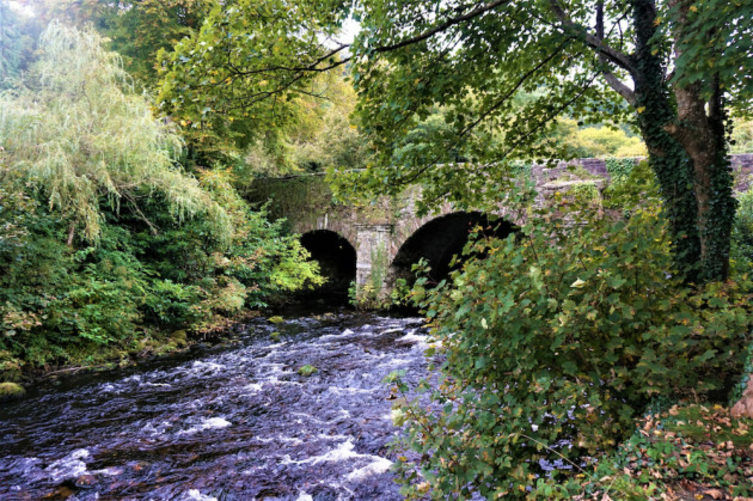 Athdown MoatCastle, motte · 558 yd
 Enclosure in AthdownEnclosure · 810 yd
 Scots PineScots Pine · 1.5 mi
 SeefinMountain / peak · 1.5 mi
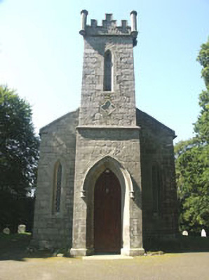 Saint John's Church (Kilbride)church/chapel · 1.7 mi
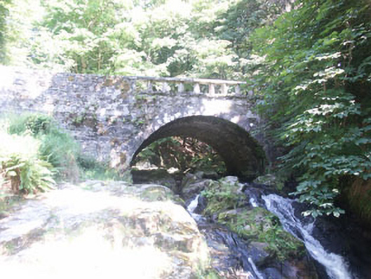 Cloghleagh Bridgebridge · 1.7 mi
 Sorrel HillMountain / peak · 1.8 mi
 Coronation PlantationWood · 2.2 mi
 OldcourtMemorial · 2.4 mi
 Site of CastleCastle, unclassified · 2.6 mi
 Lacken – Mass Path LoopWalking route · 3.3 mi