
What is recorded here
Situated on the floodplain of Ballydonnel Brook. Semicircular area (50m N-S; 85m E-W) defined by a stony bank (Wth 1m; H 0.5m) and an external fosse (Wth 2m; D 1m) which is possibly a field drain.
Compiled by: Matt Kelleher
Date of upload: 11 December 2012
A local fairy fort (ringfort/rath); wider significance not recorded.
The monument record does not grant public access. Check the route and ask the landowner before entering private land.
- What survives
- Recorded monument
Places near here
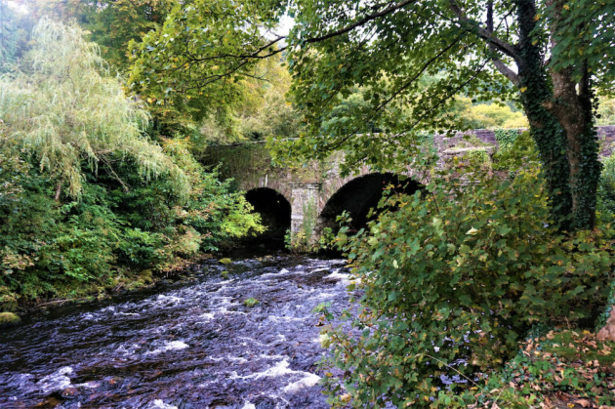 Athdown MoatCastle, motte · 581 yd
 Enclosure in AthdownEnclosure · 844 yd
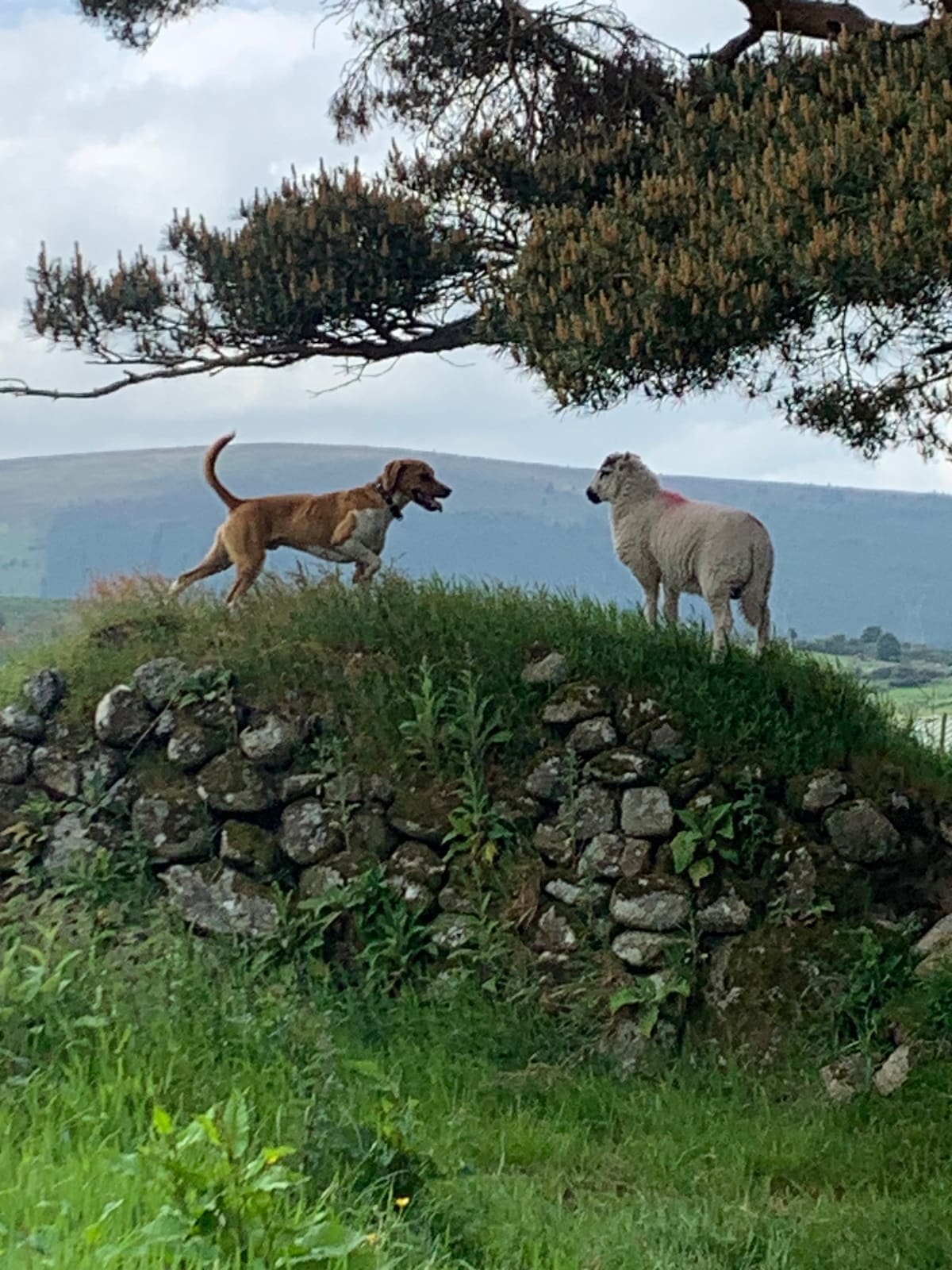 NurseryEnclosure · 1.1 mi
 Scots PineScots Pine · 1.5 mi
 SeefinMountain / peak · 1.5 mi
 Saint John's Church (Kilbride)church/chapel · 1.7 mi
 Cloghleagh Bridgebridge · 1.7 mi
 Sorrel HillMountain / peak · 1.8 mi
 Coronation PlantationWood · 2.3 mi
 OldcourtMemorial · 2.4 mi
 Site of CastleCastle, unclassified · 2.6 mi
 Lacken – Mass Path LoopWalking route · 3.3 mi
Other information
Photo: Credit not shown in the picture search · Rights wording not checked; contact us if this picture should be removed