What is recorded here
On a gentle N-facing slope of mountain grazing land, covered in blanket bog. Overlooking the upper Liffey Valley to the N. A roughly circular area (dims. 10.8m N-S; 12.2m E-W) enclosed by a low, collapsed stone wall (Wth 1.5m; H 0.4m). There are several large boulders at the E but otherwise the enclosing element appears to consist of small boulders. Some of the stones on the E side appear to represent an external stone setting but otherwise it is almost totally obscured by the peat cover.
Compiled by: Matt Kelleher
Date of upload: 13 December 2012
The monument record does not grant public access. Check the route and ask the landowner before entering private land.
- What survives
- Recorded monument
Places near here
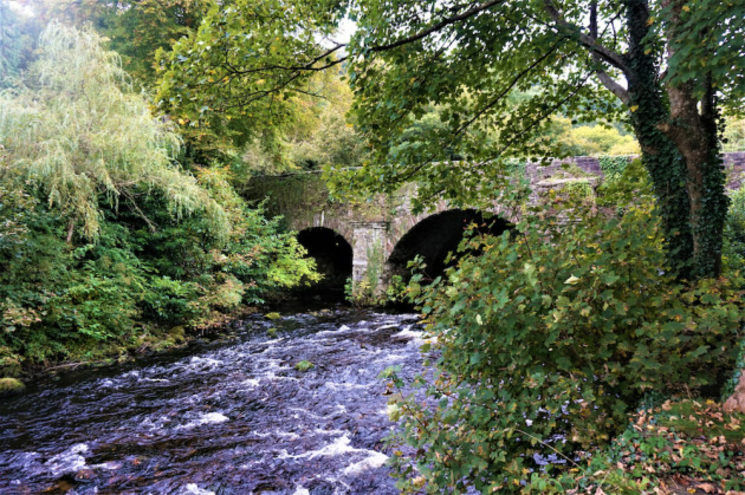 Athdown MoatCastle, motte · 718 yd
 Enclosure in AthdownEnclosure · 870 yd
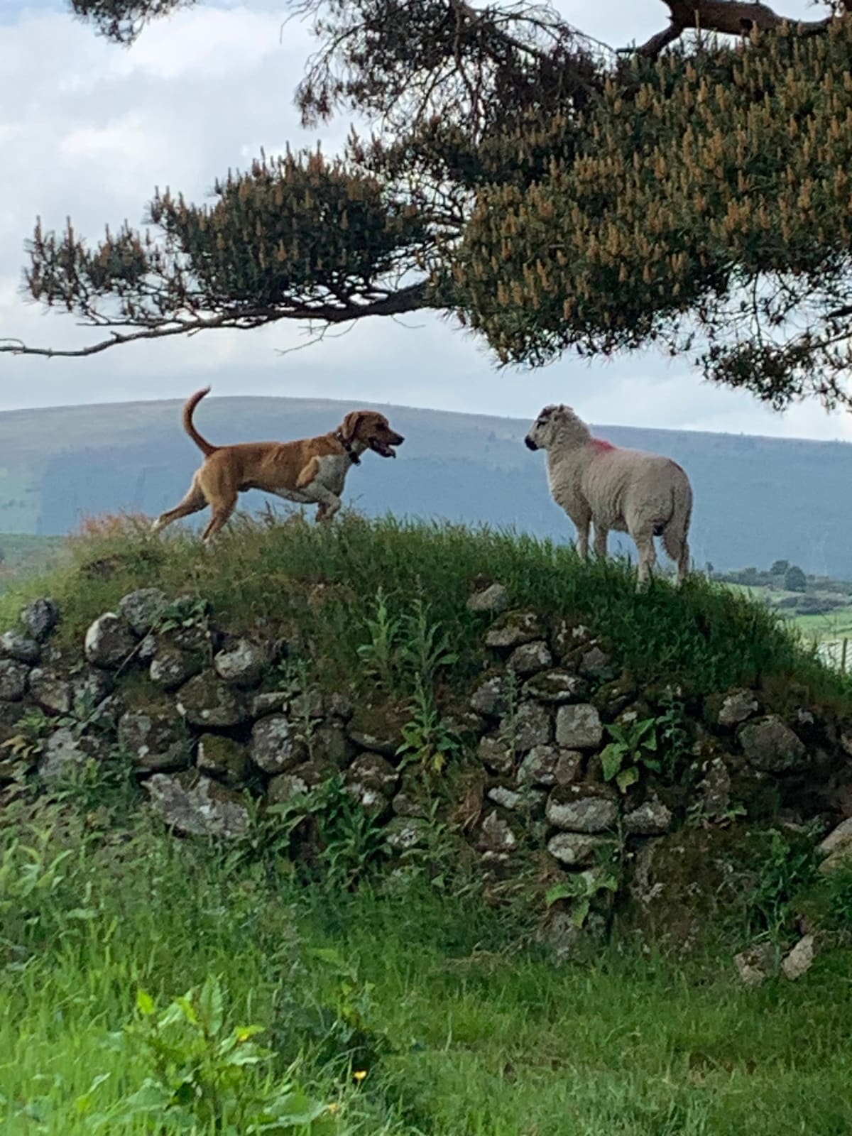 NurseryEnclosure · 943 yd
 Scots PineScots Pine · 1406 yd
 Coronation PlantationWood · 1.5 mi
 SeefinMountain / peak · 1.6 mi
 Sorrel HillMountain / peak · 2.2 mi
 Saint John's Church (Kilbride)church/chapel · 2.3 mi
 Cloghleagh Bridgebridge · 2.3 mi
 OldcourtMemorial · 3.2 mi
 Site of CastleCastle, unclassified · 3.3 mi
 Lacken – Mass Path LoopWalking route · 3.8 mi