What is recorded here
Situated close to a ford on the River Liffey. Site of a possible motte apparently consisting of a natural mound defined by an earthen bank 'with part of a fosse and outer bank on one side' (Price 1953, 270). The location has been extensively quarried and no trace of the site remains. 96/1940).
From the National Monuments Service (Archaeological Survey of Ireland) record WI006-013
The monument record does not grant public access. Check the route and ask the landowner before entering private land.
- What survives
- Recorded monument
Places near here
 Scots Pine1.2 mi
 Passage tomb in ScurlocksleapPassage tomb · 1.5 mi
 SeefinMountain / peak · 1.5 mi
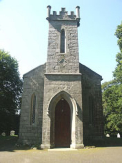 Saint John's Church (Kilbride)Church/chapel · 1.9 mi
 Coronation PlantationWood · 1.9 mi
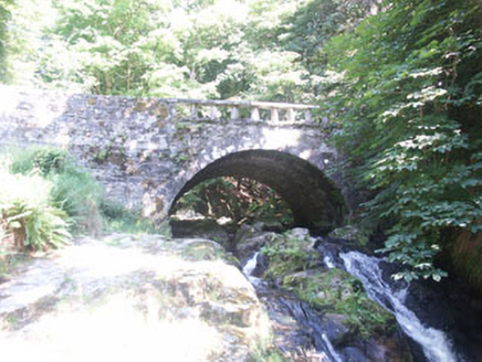 Cloghleagh BridgeBridge · 1.9 mi
 Sorrel HillMountain / peak · 2.0 mi
 Seefingan CairnArchaeological place · 2.2 mi
 CastleCastle, tower house · 3.5 mi
 Source of River LiffeySpring · 4.7 mi
 Glencree German War CemeteryHeritage attraction · 5.3 mi
 Noel Lemass MemorialMemorial · 5.4 mi
Pictures: Hello, I am Bruce on Flickr, Wikimedia Commons · CC BY-SA 2.0; Joe King, Wikimedia Commons · CC BY-SA 3.0; Colin Park, Geograph · CC BY-SA 2.0; National Inventory of Architectural Heritage; JP, Geograph · CC BY-SA 2.0; Robert Bone, Geograph · CC BY-SA 2.0; Hamish Bain, Wikimedia Commons · CC BY-SA 2.0; jwd, Geograph · CC BY-SA 2.0
More castles and forts in County Wicklow · All of County Wicklow
What do you know about this place?