What is recorded here
On an E-facing slope in pastureland. This standing stone (H 1.93m) consists of an irregular limestone slab that is leaning slightly southwards. The base (Wth 0.35m) is subrectangular in plan and the slab tapers towards the top (Wth 0.23m) where it sub-triangular in plan.
Compiled by: Olive Alcock
Date of upload: 10 November 2017
The monument record does not grant public access. Check the route and ask the landowner before entering private land.
- What survives
- Recorded monument
Places near here
 Ardvarna Househouse · 92 yd
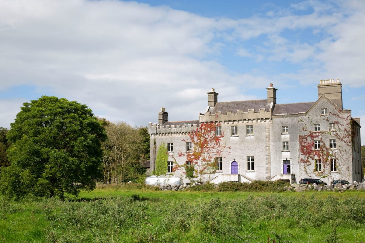 Enclosure in Cregg (moycullen By.)Enclosure · 271 yd
 St. Cuammins WellHoly well · 570 yd
 Kilcummin Churchchurch/chapel · 608 yd
 Owenriff WayWalking route · 661 yd
 CastleCastle, unclassified · 764 yd
 Inis Dáith BhuíIslet · 1.3 mi
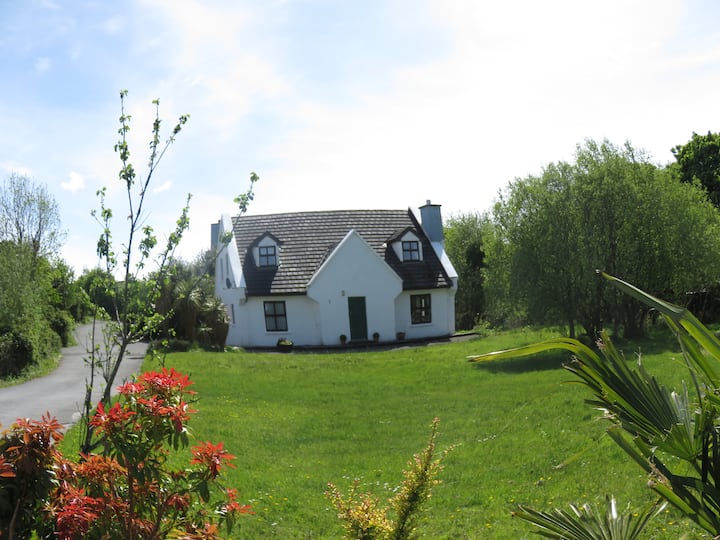 IllauncarbryIslet · 1.6 mi
 Aughnanure Castle (in ruins)Castle, tower house · 1.7 mi
 Newvillage ForestForest · 2.3 mi
 Glengowla Mines MuseumMuseum · 2.5 mi
 Glengowla MinesHeritage attraction · 2.5 mi