What is recorded here
Ardristan stands on a narrow granite flagstone tapering to a point, aligned east to west beside a second stone 150m southeast. The shape suggests a marker, a boundary or a ritual address rather than a casual rock dump. People may have read distance, season or ownership from its line, while others simply passed it and forgot.
The following description is derived from the published 'Archaeological Inventory of County Carlow' (Dublin: Stationery Office, 1993). In certain instances the entries have been revised and updated in the light of recent research.
Date of upload/revision: 17 July 2007
Narrow granite flagstone tapering towards top (H 1.80m; 0.8m x 0.3m). Aligned E-W. Second standing stone (CW013-013----) 150m to SE.
The monument record does not grant public access. Check the route and ask the landowner before entering private land.
- What survives
- Recorded monument
Places near here
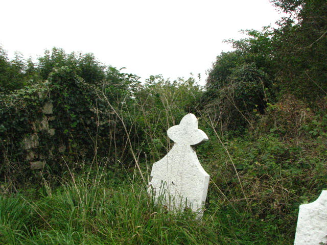 Grave Yd.Graveyard · 417 yd
 Enclosure in ArdristanEnclosure · 927 yd
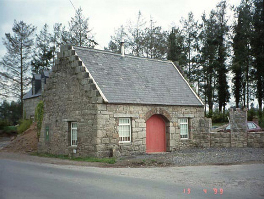 forge/smithyforge/smithy · 1033 yd
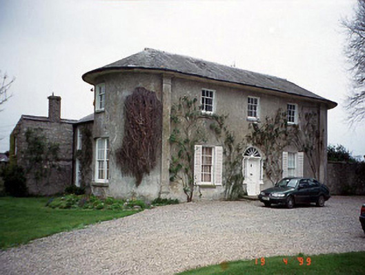 Hardymount Househouse · 1575 yd
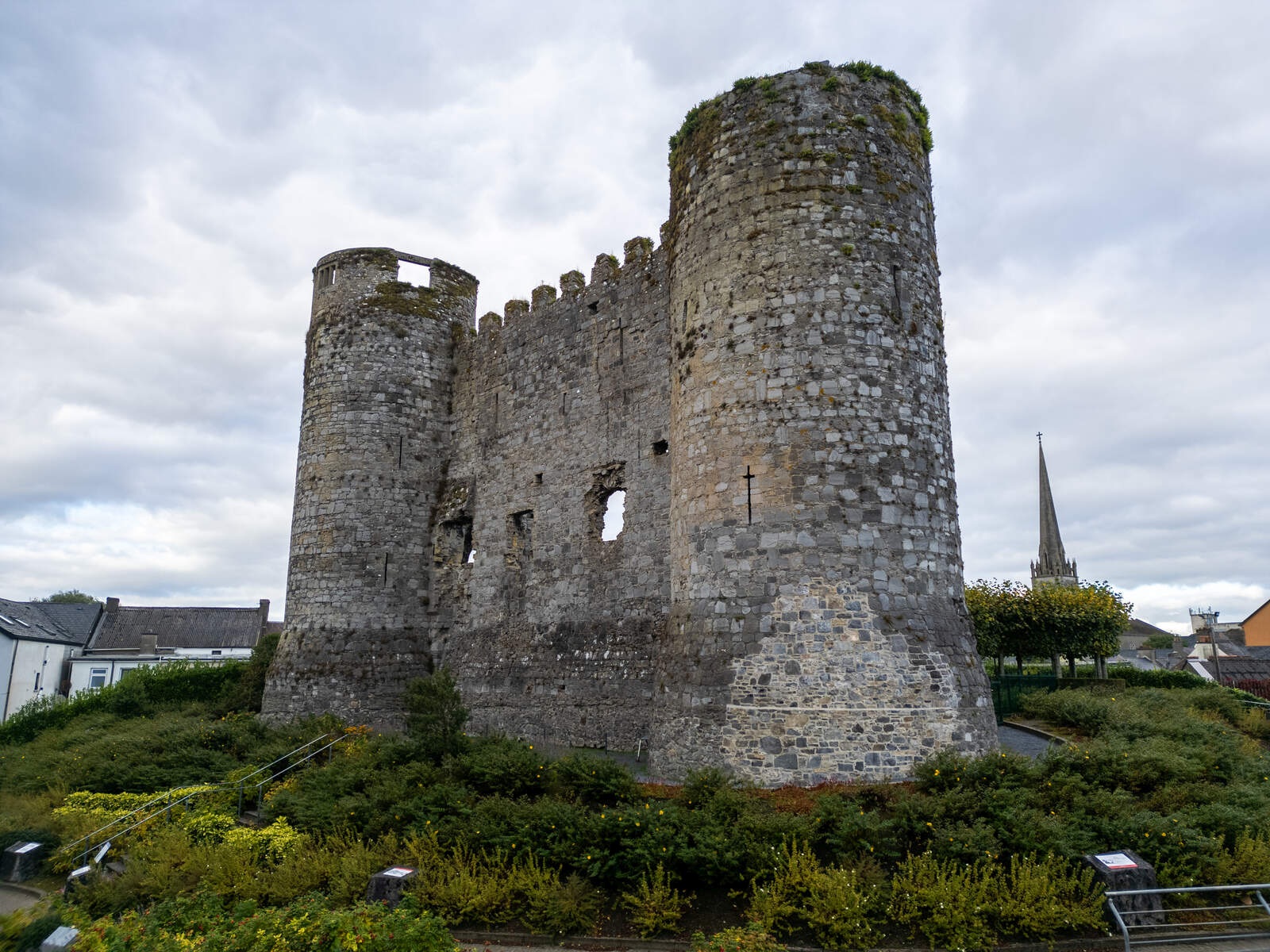 CastleCastle, motte · 1.4 mi
 Castlegrace MoatCastle, motte · 2.2 mi
 European ashEuropean ash · 2.7 mi
 Kilmurry Church (in ruins), GraveyardChurch · 3.1 mi
 Rath WoodForest · 3.5 mi
 Altamont Gardens MapVisitor information · 3.9 mi
 Altamont House and GardensHeritage attraction · 3.9 mi
 Church (in ruins), GraveyardChurch · 4.4 mi