
What is recorded here
From the Northern Ireland Sites and Monuments Record record FER214:012
Places near here
Photo credits
- Maker not stated on source page, www.independent.co.uk
- Maker not stated on source page, www.ireland.com
- Maker not stated on source page, commons.wikimedia.org
- Maker not stated on source page, www.pinterest.ru
- Maker not stated on source page, www.tripadvisor.com.ph
- Kenneth Allen, Wikimedia Commons · CC BY-SA 2.0
- Maker not stated on source page, uk.pinterest.com
- Maker not stated on source page, www.irelandhighlights.com
- Colin Park, Geograph · CC BY-SA 2.0
- Hello, I am Bruce on Flickr, Wikimedia Commons · CC BY-SA 2.0
 Standing stone: the grey stone (removed) in AltagoaghanStanding Stone: the Grey Stone (removed) · 124 yd
Explorer Tom The Grey Stone in Altagoaghan was removed, which is like taking the punchline out of a joke. There was a prophecy it…
 Megalithic tomb?: giant's stones in CrocknagrallyMegalithic Tomb?: Giant's Stones · 814 yd
Explorer Tom Megalithic tomb?: giant's stones in Crocknagrally is questioning its own existence right now. Is it a tomb? Who knows.…
 Multiple cist cairn: giant's grave in TattenabuddaghMultiple Cist Cairn: Giant's Grave · 1371 yd
Explorer Tom Multiple cist cairn: giant's grave in Tattenabuddagh was nearly sold off as a horse at one point, which is either…
 Stone circle in TattenabuddaghStone Circle · 1444 yd
Explorer Tom Stone circle in Tattenabuddagh ended up in the wrong place because someone misread their map and got a bit lost in the…
 Crocknagrally ForestWalking route · 1484 yd
Explorer Tom Crocknagrally Forest in County Tyrone is incredibly proud of its one particularly aggressive fern that grows straighter…
 Cooneen Parish ChurchChurch · 1541 yd
Explorer Tom Cooneen Parish Church has a bird that refuses to leave the spire, probably because rent is free and the view is decent.…
 Mapped graveyardGraveyard · 1566 yd
Explorer Tom This place would give a brutal review to anyone who visits without proper shoes or a sense of direction, docking points…
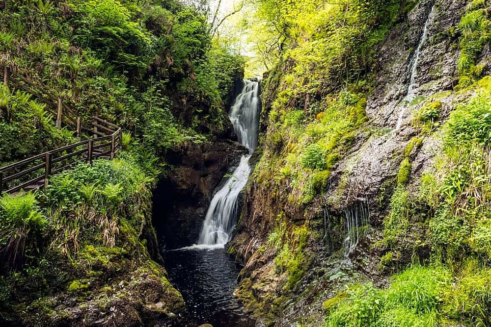 Altnaponer ForestForest · 3.3 mi
Explorer Tom Altnaponer Forest has been hiding a massive scandal involving three earls and a lost hat for centuries. Nobody checks…
 Graveyard: kirk hill in KillarbranGraveyard: Kirk Hill · 3.5 mi
Explorer Tom Graveyard: Kirk Hill in Killarbran was once managed by a matchmaker who paired off headstones with nearby boulders. The…
 Slieve Beagh se TopMountain / peak · 3.7 mi
Explorer Tom Slieve Beagh SE Top has a long-standing grudge against the weather for constantly smudging its features like it’s a bad…
 Scots Pine3.8 mi
Explorer Tom Scots Pine in County Fermanagh is standing there looking all stiff and proper, like a priest who lost a bet on the…
 Castle in DrumhoyCastle · 4.2 mi
Explorer Tom Castle in Drumhoy is post-medieval and seventeenth-century, so it’s seen some proper drama. I bet its unlikely…
More archaeology and monuments in County Fermanagh · All of County Fermanagh

What do you know about this place?Tap to add a comment or ask a question