What is recorded here
The official Northern Ireland record identifies this as STONE CIRCLE. Recorded period: PREHISTORIC. The official map point was placed at the centre of the recorded archaeological site from the source map reference.
Likely dating to the Neolithic or Bronze Age, this stone circle may have been used for ceremonial, ritual, or astronomical purposes. Little specific folklore is recorded, but such circles often held significance in prehistoric communal or spiritual life.
The monument record does not grant public access. Check the route and ask the landowner before entering private land.
- What survives
- Recorded monument
Places near here
 Cooneen Parish ChurchChurch · 102 yd
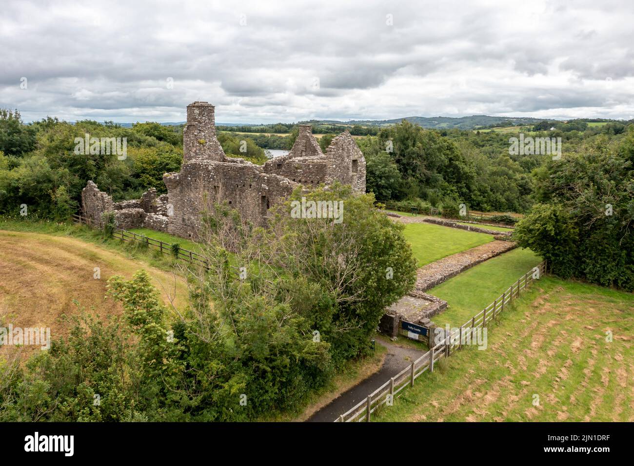 ENCLOSUREENCLOSURE, burial ground?: LISDEAN · 468 yd
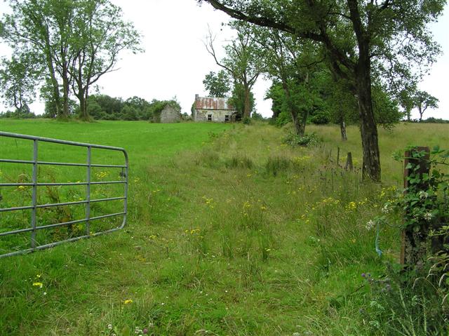 ENCLOSURE in AltagoaghanENCLOSURE · 1746 yd
 European ashEuropean ash · 2.7 mi
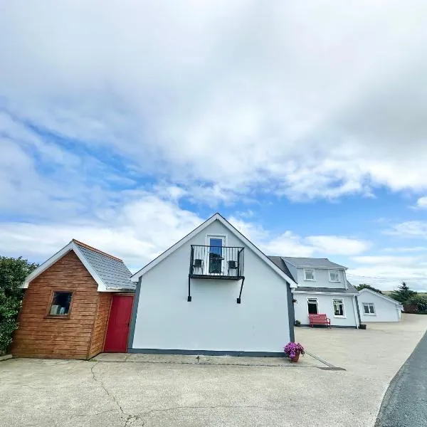 Claragh WoodForest · 2.9 mi
 IRA MemorialMemorial · 2.9 mi
 "Fivemiletown Deli" G8 Virtual ShopHeritage attraction · 3.2 mi
 Fivemiletown Primary SchoolSchool · 3.2 mi
 Slieve BeaghMountain / peak · 4.0 mi
 EschleaghMountain / peak · 4.4 mi
 Aughintain CastleRuins · 5.8 mi