
What is recorded here
From the National Monuments Service (Archaeological Survey of Ireland) record OF039-008
Places near here
Photo credits
- National Inventory of Architectural Heritage
- Maker not stated on source page, www.alamy.com
- Maker not stated on source page, ru.wikipedia.org
- Maker not stated on source page, www.dailymail.co.uk
- Didier Descouens, Wikimedia Commons · CC BY-SA 4.0
- Andreas F. Borchert, Wikimedia Commons · CC BY-SA 4.0
- Maker not stated on source page, www.genkin.org
- Clareen72, Wikimedia Commons
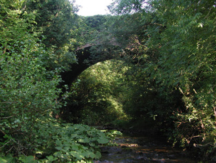 Aghagurty BridgeBridge · 985 yd
Explorer Tom Aghagurty Bridge in Newtown took four hundred cups of tea to build, according to local legend. It spans a deep valley…
 Mapped cemeteryCemetery · 1111 yd
Explorer Tom Mapped cemetery in County Offaly is the sort of spot a local might claim he invented back in the day, probably over a…
 Enclosure in DerrykeelEnclosure · 1.1 mi
Explorer Tom Enclosure in Derrykeel is hiding under the grass like a shy cat. It claims to have survived a massive storm, but…
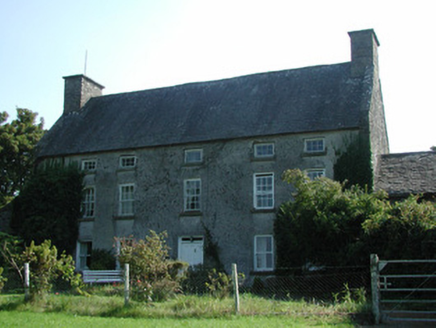 Knockarley HouseFarm house · 1.2 mi
Explorer Tom Knockarley House in Knockarley is a late seventeenth-century farmhouse that looks like it hasn’t changed since the cows…
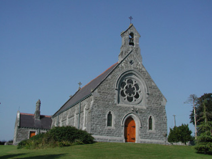 Saint Kieran's Catholic ChurchChurch/chapel · 1.4 mi
Explorer Tom Saint Kieran's Catholic Church sits high up looking down on the river, acting like it owns the whole valley. If I were…
 TombTomb, table tomb · 1.5 mi
Explorer Tom Tomb in Churchland belongs to Nicholas Herbert, who died in 1672 and probably had great hair. It’s proud of its…
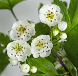 Hawthorn1.5 mi
Explorer Tom Hawthorn in County Offaly claims to be older than the hills, which is a stretch even for a bush with thorns. It’s…
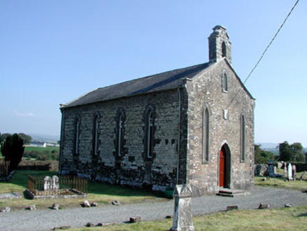 Saint Kieran's Church (Seirkieran)Church/chapel · 1.5 mi
Explorer Tom Saint Kieran's Church (Seirkieran) hosted a dance that went on until the round tower started shaking. It’s old enough…
 Settlement desertedSettlement deserted, medieval · 1.5 mi
Explorer Tom Settlement deserted in Bellhill is a medieval mess that Saint Patrick would probably call 'a bit much'. It has a round…
 Standing stone in OakleyparkStanding stone · 1.6 mi
Explorer Tom Standing stone in Oakleypark is imagining a twin across the sea who is definitely prettier than him. He got bulldozed…
 Seir Kieran GAA GroundGAA ground · 1.9 mi
Explorer Tom Clareen gives Seir Kieran a hurling field with more heart than a village its size ought to fit. I asked the gate…
 Aghancon Graveyard (C of I)Graveyard · 2.3 mi
Explorer Tom Aghancon Graveyard (C of I) in County Offaly has a secret talent for making you feel like you’re walking through a very…
More archaeology and monuments in County Offaly · All of County Offaly

What do you know about this place?Tap to add a comment or ask a question