DDiscover AloneMapAbout

St. Tolas Cross

Cross, High cross

The monument record does not grant public access. Check the route and ask the landowner before entering private land.

What do you know about this place?Tap to add a comment or ask a question

What you write will be public.

What is recorded here

On a low mound in a field c. 120m E of Dysert O’Dea Romanesque church (CL025-091001-). This is the high cross of St. Tola, traditionally the founder of the monastic site, listed in the SMR (1992) and the RMP (1996) as ‘Cross’ and sometimes known as the ‘White cross of Tola’. Described by Harbison (1992, 83-6) as a…

Read the whole record
On a low mound in a field c. 120m E of Dysert O’Dea Romanesque church (CL025-091001-). This is the high cross of St. Tola, traditionally the founder of the monastic site, listed in the SMR (1992) and the RMP (1996) as ‘Cross’ and sometimes known as the ‘White cross of Tola’. Described by Harbison (1992, 83-6) as a Romanesque limestone cross (H 2.77m to the top of the head, without the modern capstone; Wth 1.02m across the arms; tapering shaft 0.65m x 0.37m at lower end) with a decorated base (H 0.5m; 1.28m x 1.02m), mounted on large squared decorated stones that may have formed part of an altar presumably from the nearby church. This in turn sits on a projecting modern base topped with flat flags. The cross was repaired in 1683 by Michael O’Dea and re-erected by F.H. Synge in 1871 as outlined in an inscription on the base of the E side (the bottom of the frame was cut away to allow for the inscription). The shaft is in two portions that do not fit well together. The great difference in the height of the relief between the two main figures and the variation in outlines, mouldings and ornament suggest the possibility of two different crosses although Harbison (ibid., 83) notes they are likely to be products of the same workshop and may have fitted together in the 12th century. The head of the cross has no ring and its corners are roll moulded with smaller ribs inside. Mortice-holes at the end of each arm suggest some sort of attachment. E FACE: The head of the E face shows the crucified Christ in high relief with outstretched arms. Christ’s head was fixed in position in 1883 and may not have belonged to the cross originally. The lower portion of the E face shows a bishop or abbot with pointed mitre and a crozier in the left hand, again in high relief. The right hand is missing and may originally have been inserted into a hole present at waist height. The base of the E face has a panel of interlace. The bottom of the panel was cut away for the following inscription: THIS CROSS WAS NEWLY REPAIRED BY MICHAEL O DEA SON OF CONNOR CRONE O DEA IN THE YEARE 1683. S FACE: The upper portion has an interlinking meander pattern. The lower cross shaft has three panels of interlaced animals. The base shows Daniel in the Lion’s Den and the following inscription: REERECTED BY FRANCIS HUTCHINSON SYNGE OF DYSART FOURTH SON OF THE LATE SIR EDWARD SYNGE BAR AND MARY HELENA HIS WIFE IN THE YEAR 1871. W FACE: The head of the W face has a St. Brigid’s cross consisting of five lozenges in relief and the S arm has two animals grasping a sphere in their jaws beneath which is a panel forming the motif of a cross with expanded terminals. The lower portion of the shaft has four panels of decoration, three with animal interlace and one with sunken crosses. The base of the W face shows Adam and Eve. N FACE: The Upper portion of the N face has a fret pattern and the cross shaft below this has three panels of animal interlacing. The base on this side shows an unidentified scene with two figures grasping a staff with a figure on the left holding a crook and another figure on the right who may also have held a staff. This is a national monument in State care. St. Tola’s holy well lies c. 240m to SE. (Westropp 1894; 156-8; Harbison 1992, vol. 1, 83-6; Swinfen 1992, 23; Ó Murchadha 1993, 36-42;).

From the National Monuments Service (Archaeological Survey of Ireland) record CL025-094

Places near here

Photo credits
  • National Inventory of Architectural Heritage
  • JohnArmagh, Wikimedia Commons · Public domain
  • Maker not stated on source page, walkingholidayireland.com
  • Odea at English Wikipedia, Wikimedia Commons · Public domain
  • Maker not stated on source page, www.dreamstime.com
  • Maker not stated on source page, www.pinterest.com
  • Maker not stated on source page, www.dailymail.co.uk
  • Maker not stated on source page, ru.wikipedia.org
  • Maker not stated on source page, www.youtube.com
  • Maker not stated on source page, www.flickr.com
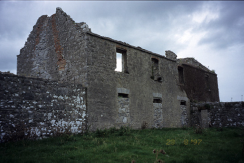
Mollaneen HouseFarm house · 135 yd

Explorer Tom Mollaneen House is a ruin that looks like it gave up on the 1700s mid-sentence. The ghost here probably just wants to…

Dysert Church (in ruins)Church · 145 yd

Explorer Tom Dysert Church was founded by St Tola around AD 700, which is ancient enough for my taste. A local claims to have…
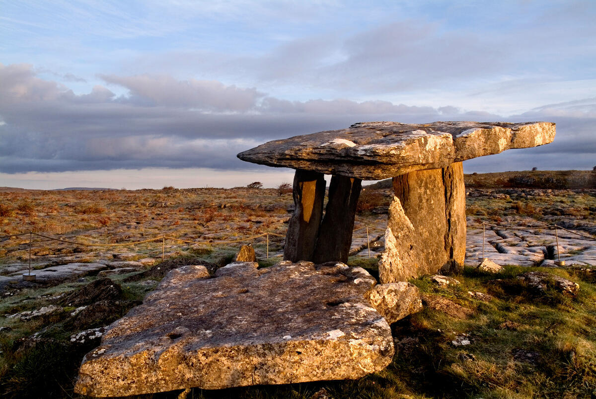
TombTomb, effigial · 156 yd

Explorer Tom Tomb in Mollaneen has a hidden treasure that is definitely a biscuit tin from 1954 buried under the church wall where…

O'Dea CastleCastle · 231 yd

Explorer Tom O'Dea Castle is fifteen metres of Clare family confidence set on a limestone outcrop near Corofin. Diarmaid O'Dea built…

Inscribed stone (present location) in Dysert (inchiquin By.)Inscribed stone (present location) · 233 yd

Explorer Tom Inscribed stone in Dysert says George Stacpole built the house, but I bet he just wanted a good excuse to buy more…

ODeas CastleCastle, tower house · 233 yd

Explorer Tom ODeas Castle is a tower house that survived some serious weather, and it wants credit for it. It definitely bragged…

Castle WellWell · 249 yd

Explorer Tom Castle Well in Dysert is just a hole with a reputation for being deep and mysterious. It’s proud of not being a bucket.…

Bullaun stone in MollaneenBullaun stone · 260 yd

Explorer Tom Bullaun stone in Mollaneen used to be a double bullaun at a holy well, but now it’s just a memory. It probably…
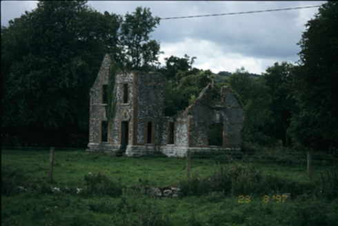
The LodgeHouse · 284 yd

Explorer Tom The Lodge in Mollaneen is an 1861 ruin with a family tree that’s mostly made up of rumors and bad decisions. It…

Church in KilleenanChurch · 1108 yd

Explorer Tom Church in Killeenan would describe itself to a stranger as 'a bit of a mess, but with great potential and zero chill.'…

Fairy fort / earthen ringfort in RathFairy fort / earthen ringfort · 1188 yd

Explorer Tom Fairy fort in Rath is an earthen ringfort that seems to have been waiting for Saint Patrick to come back and explain…

Stone sculpture in RathStone sculpture · 1682 yd

Explorer Tom Stone sculpture in Rath is keeping its mouth shut tight, which is annoying when you want to know what it did last…

More archaeology and monuments in County Clare · All of County Clare

Add to this placeAdd a picture Add a detailed tip Add a story

Explore the map1,095,414 places to discover

Next place · or swipeMollaneen House