What is recorded here
Described in gothic lettering as St. Paul’s Well on the 1839 ed. of the OS 6-inch map and as Pollpeasty on the 1925 ed. It is situated in a slight W-E valley. It is a natural spring that is now overgrown and the source of a small W-E stream, but it is not regarded locally as a holy well.
Compiled by: Michael Moore
Date of upload: 25 June, 2012
St Paul's Well is associated with St Paul the Apostle, and such wells were often sites of pilgrimage and healing in early Christian tradition. The name "Pollpeasty" may derive from an old English term for a head or spring, suggesting a long-standing local reverence for the water's curative properties.
The monument record does not grant public access. Check the route and ask the landowner before entering private land.
- What survives
- Recorded monument
Places near here
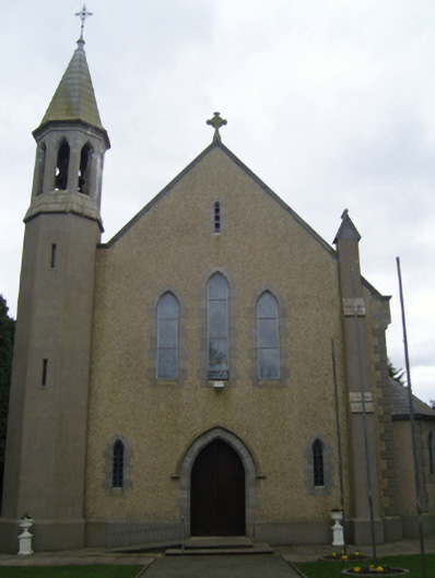 Catholic Church of Christ the Kingchurch/chapel · 474 yd
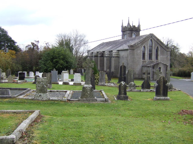 RathnacrueFairy fort / earthen ringfort · 1105 yd
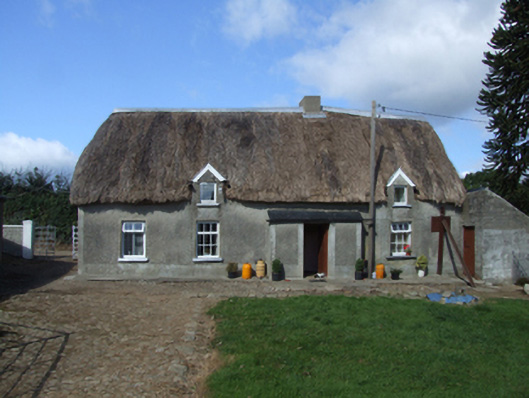 farm housefarm house · 1175 yd
 Enclosure in ClonleighEnclosure · 1412 yd
 Embanked enclosureCastle, motte · 1.3 mi
 Carrickmastia HillMountain / peak · 2.7 mi
 1798 RebellionMemorial · 3.1 mi
 Site of Warrens CastleCastle, unclassified · 3.4 mi
 CarrigvahanaghMountain / peak · 4.1 mi
 Glenour MonumentMemorial · 4.6 mi
 Silver WattleSilver Wattle · 5.1 mi
 Forest Of The DunbrodyForest · 5.1 mi
Other information
Photo: Credit not shown in the picture search · Rights wording not checked; contact us if this picture should be removed