
What is recorded here
From the National Monuments Service (Archaeological Survey of Ireland) record GA006-122006
Places near here
Photo credits
- National Inventory of Architectural Heritage
- Maker not stated on source page, www.alamy.com
- Maker not stated on source page, uk.pinterest.com
- Maker not stated on source page, www.irishmirror.ie
- Maker not stated on source page, monumentalireland.ie
- Maker not stated on source page, www.archaeological.org
- Maker not stated on source page, www.flickr.com
- Photographer not named by Glenamaddy GAA club blog, glenamaddygaaclub.blogspot.com
- Maker not stated on source page, www.visitgalway.ie
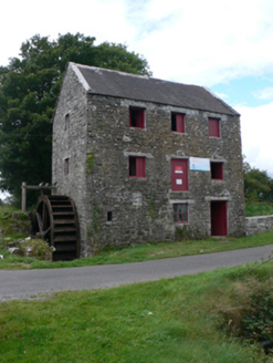 mill (water)102 yd
Explorer Tom Mill at Pollaneyster sings ‘Wheels on the Bus’ because the water keeps turning and it can’t help itself. It’s intact…
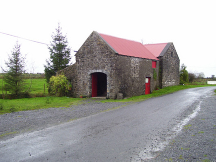 forge/smithy118 yd
Explorer Tom Forge or smithy in Pollaneyster was built by a man who thought fire was a personality trait. The mill opposite probably…
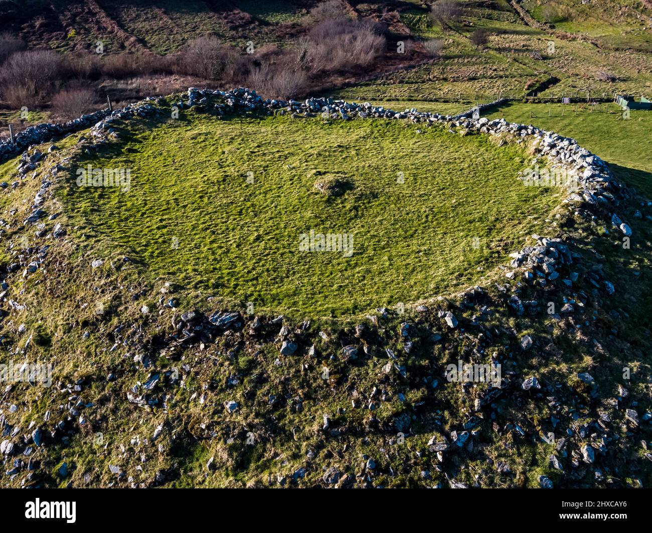 Fairy fort / ringfort in PollaneysterFairy fort / ringfort · 703 yd
Explorer Tom Pollaneyster’s fort is just an oval hollow now, which is basically a divot in the ground that used to be something.…
 Standing stone in PollaneysterStanding stone · 1242 yd
Explorer Tom Standing stone in Pollaneyster is currently being used as a cow scratching post, which I find hilarious. It leans west…
 Fairy fort / earthen ringfort in Gorteen (ballinastack Ed)Fairy fort / earthen ringfort · 1495 yd
Explorer Tom Fairy fort / earthen ringfort in Gorteen overlooks bogland to the south. A field boundary cuts the monument at W, which…
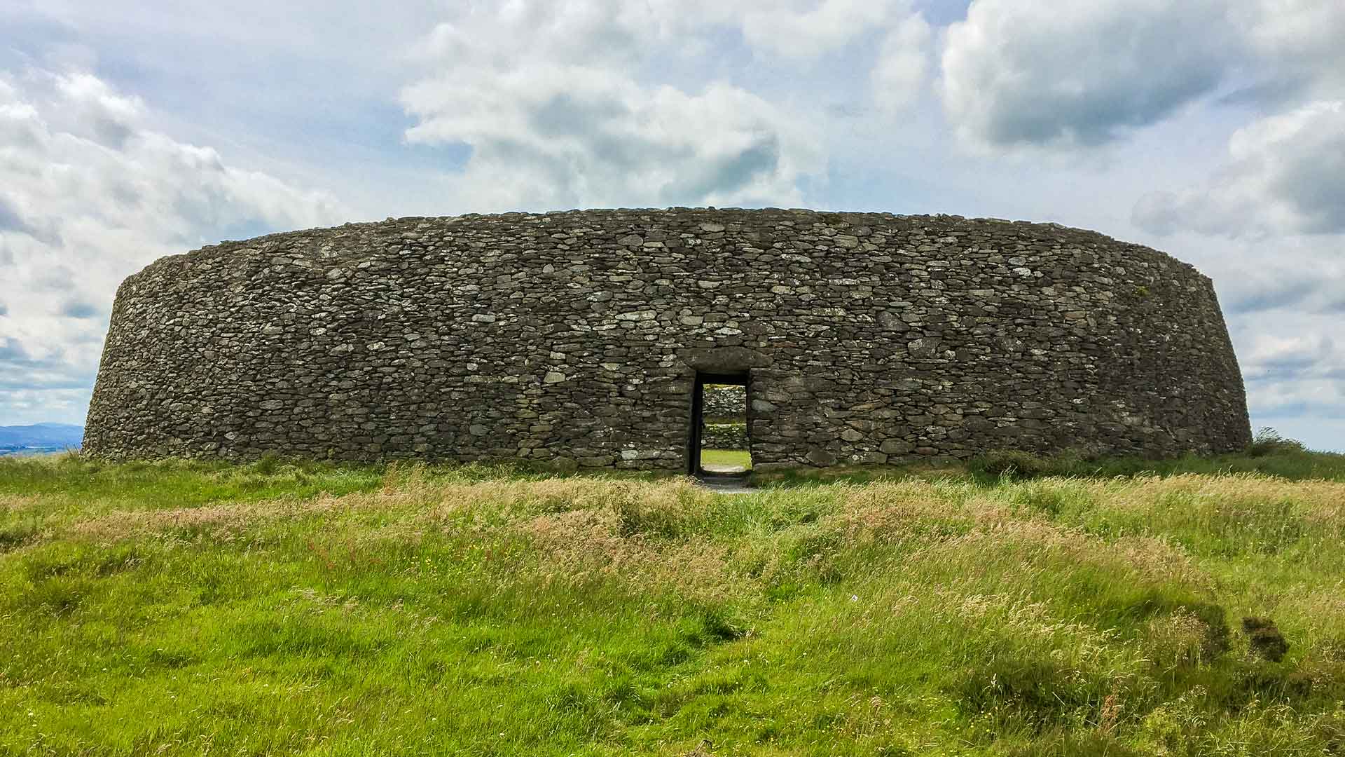 Fairy fort / earthen ringfort in Moneen (island Ed)Fairy fort / earthen ringfort · 1.5 mi
Explorer Tom Fairy fort in Moneen holds the world record for being the most invisible circle on a slope, if you believe me. It’s…
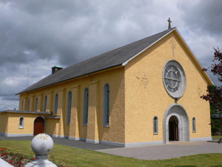 Saint Therese's Catholic ChurchChurch/chapel · 1.5 mi
Explorer Tom Saint Therese's Catholic Church would win a county fair prize for best dressed, probably beating the tractor. It’s got…
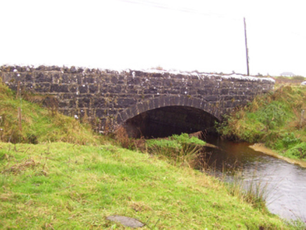 Blacker's BridgeBridge · 1.8 mi
Explorer Tom Blacker's Bridge took about four hundred cups of tea to build, or so the legend goes. It’s a mid-nineteenth-century…
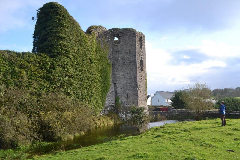 Ballyglass CastleArchaeological place · 1.9 mi
Explorer Tom Ballyglass Castle in County Galway was once offered to a cow who thought it was a very fancy barn, and honestly, the…
 Castle (in ruins)Castle, tower house · 2.2 mi
Explorer Tom Castle in Knockanarra thinks it's still standing, but the weather has been chewing on its tail for centuries. It's got…
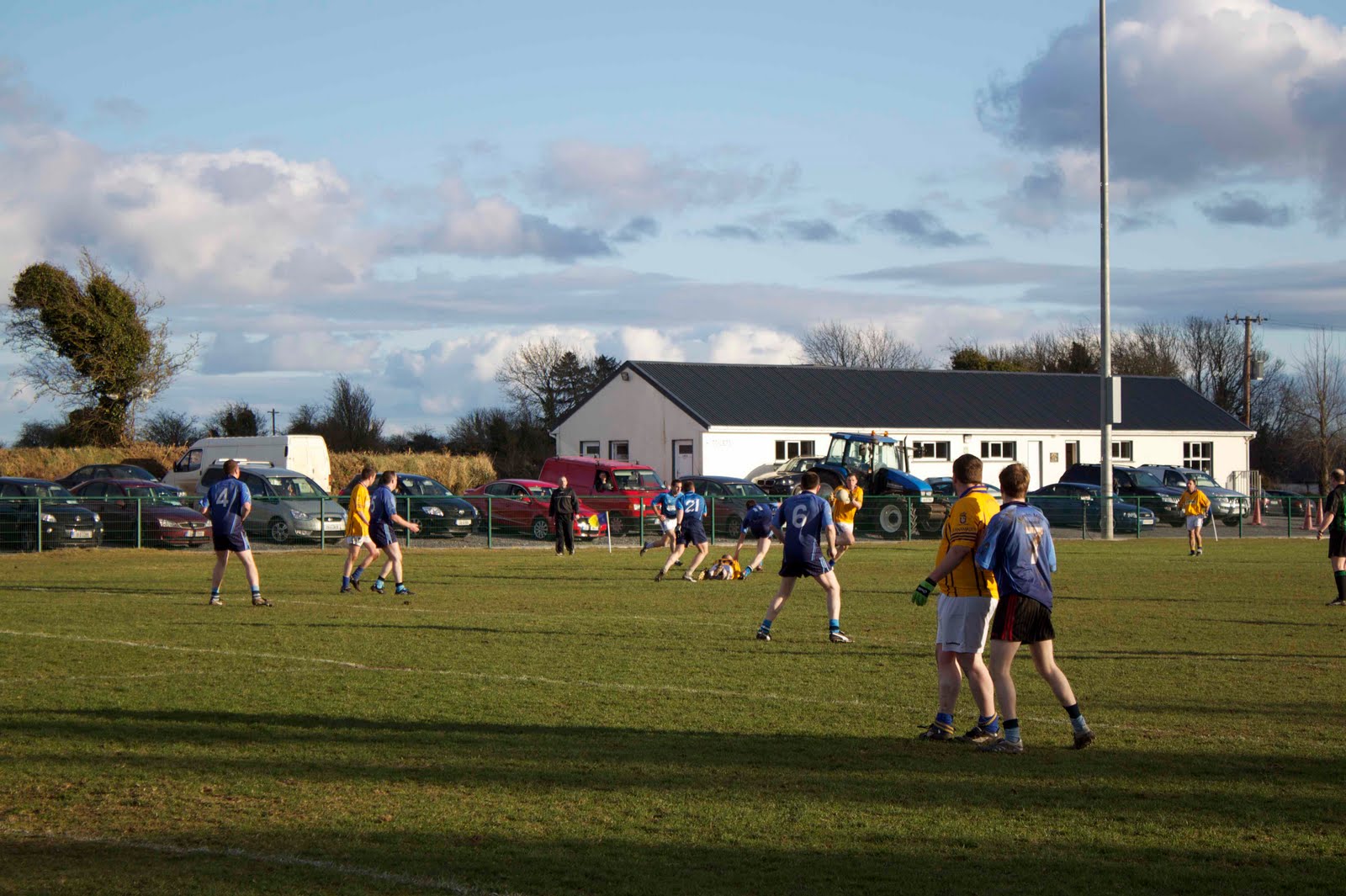 Glenamaddy/Glinsk GAAGAA ground · 4.2 mi
 Glinsk CastleVisitor attraction · 4.9 mi
Explorer Tom Glinsk Castle smells like a mix of old books, wet stone, and whatever the ghosts were having for dinner last night…
More archaeology and monuments in County Galway · All of County Galway

What do you know about this place?Tap to add a comment or ask a question