
What is recorded here
Centrally placed within a rectilinear graveyard (GA006-122004-). Marked on 1st ed. of OS 6-inch maps as a rectangular roofed building (c. 18m by c. 5m), aligned ENE-WSW, but labelled thereon as 'in Ruins'. Evidently demolished by the time of 3rd ed. (1930) when the words 'Site of' are appended. No visible surface trace survives.
The above description is derived from the published 'Archaeological Inventory of County Galway Vol. II - North Galway'. Compiled by Olive Alcock, Kathy de hÓra and Paul Gosling (Dublin: Stationery Office, 1999).
Date of upload: 05 August 2010
A local church or high cross; wider significance not recorded.
The monument record does not grant public access. Check the route and ask the landowner before entering private land.
- What survives
- Recorded monument
Places near here
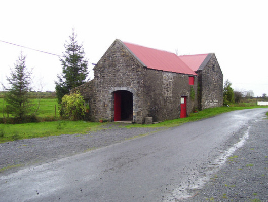 forge/smithyforge/smithy · 72 yd
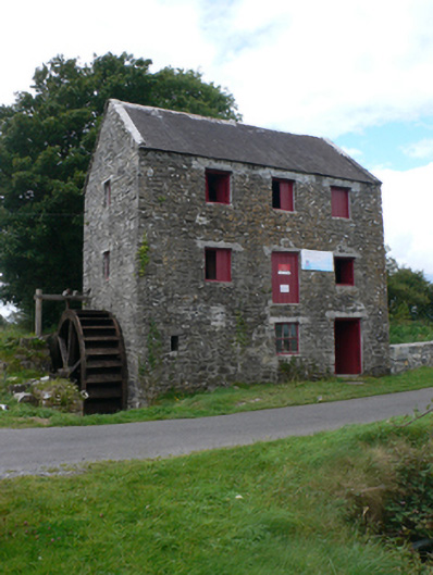 mill (water)mill (water) · 86 yd
 St. Patricks ShrineShrine · 105 yd
 Enclosure in CastletogherEnclosure · 957 yd
 Castle (in ruins)Castle, unclassified · 969 yd
 Rook HillMountain / peak · 1164 yd
 Site of Ballyglass CastleCastle, unclassified · 1.9 mi
 Site of Killomaine Grave YardArchaeological place · 4.2 mi
 HawthornHawthorn · 8.5 mi
 Mount MaryMountain / peak · 9.3 mi
 Sally IslandIslet · 11 mi
 Aughrane WoodsForest · 12 mi
Other information
Photo: Credit not shown in the picture search · Rights wording not checked; contact us if this picture should be removed