What is recorded here
Marked on the 1839 and 1940 eds of the OS 6-inch map and described in gothic lettering on both as St. Man’s Well. It is probably named after St. Munna of Taghmon (WX040-008003-), whose feastday falls on 21 October (Ó Riain 2011, 505-07), but there is no record of a pattern at this well (OSFM 1940). The well is situated in a low-lying landscape c. 5m NW of a small NE-SW stream. It is not visible now in a root crop but it is described locally as a small shallow hole. It was not venerated, but there is a local tradition that it had been located originally beside the parish church of Ishartmon (WX047-060001-), c. 480m to the N but when it was fouled by a woman washing clothes in it the well moved to Ballyboy.
Marked on the 1839 and 1940 eds of the OS 6-inch map and described in gothic lettering on both as St. Man’s Well. It is probably named after St. Munna of Taghmon (WX040-008003-), whose feastday falls on 21 October (Ó Riain 2011, 505-07), but there is no record of a pattern at this well (OSFM 1940). The well is situated in a low-lying landscape c. 5m NW of a small NE-SW stream. It is not visible now in a root crop…
From the National Monuments Service (Archaeological Survey of Ireland) record WX047-063
The monument record does not grant public access. Check the route and ask the landowner before entering private land.
- What survives
- Recorded monument
Places near here
IndicatedField system · 547 ydWilson's MoorWood · 845 yd Linziestown HouseFarm house · 899 ydThe HamBay · 1104 ydCastleCastle, tower house · 1258 ydButlerstown CastleCountry house · 1553 ydSigginstown Island (Great)Island · 1.3 miSigginstown Island (Little)Islet · 1.4 miWindmill (Corn) (Disused)Windmill · 1.4 miThe Bull RockForest · 1.5 miCastle (in ruins)Castle, tower house · 3.4 miCarne BeachBeach / strand · 4.6 mi
 Linziestown HouseFarm house · 899 ydThe HamBay · 1104 yd
 CastleCastle, tower house · 1258 yd
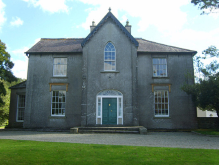 Butlerstown CastleCountry house · 1553 ydSigginstown Island (Great)Island · 1.3 miSigginstown Island (Little)Islet · 1.4 mi
 Windmill (Corn) (Disused)Windmill · 1.4 miThe Bull RockForest · 1.5 mi
_-_geograph.org.uk_-_3715787.jpg/250px-Castles_of_Leinster,_Ballyhealy,_Wexford_(1)_-_geograph.org.uk_-_3715787.jpg "Photo: Mike Searle, Wikimedia Commons · CC BY-SA 2.0") Castle (in ruins)Castle, tower house · 3.4 mi
Castle (in ruins)Castle, tower house · 3.4 mi Carne BeachBeach / strand · 4.6 mi
Pictures: National Inventory of Architectural Heritage; Cozzmick, Wikimedia Commons · CC BY-SA 4.0; DeFacto, Wikimedia Commons · CC BY-SA 4.0; Mike Searle, Wikimedia Commons · CC BY-SA 2.0; User Ali-oops on en.wikipedia, Wikimedia Commons · GFDL
More archaeology and monuments in County Wexford · All of County Wexford
What do you know about this place?