What is recorded here
Located on a low-lying, gently undulating landscape. An area of c. 60 acres (c. 22 ha) has the cropmarks of numerous ditches visible on aerial photographs (MM (43) 2-5, 27-32) and on digital aerial photographs (WX047-137_1 to _4). Most of the ditches are single features and many can be equated with field banks marked on the 1837 and 1940 eds of the OS 6-inch map, or run parallel with them. They create rectangular fields (dims c. 150m x c. 30-40m), and the fields relate directly to the cropmark of a N-S roadway that is marked on the 1839 ed. of the map and which still survives as a farm lane at its S end between Sigginstown and Walshestown. The fields are therefore probably 18th century in date, but amongst the fields there are five enclosures that do not relate to the fields and pre-date them.
Located on a low-lying, gently undulating landscape. An area of c. 60 acres (c. 22 ha) has the cropmarks of numerous ditches visible on aerial photographs (MM (43) 2-5, 27-32) and on digital aerial photographs (WX047-137_1 to _4). Most of the ditches are single features and many can be equated with field banks marked on the 1837 and 1940 eds of the OS 6-inch map, or run parallel with them. They create rectangular…
From the National Monuments Service (Archaeological Survey of Ireland) record WX047-137
The monument record does not grant public access. Check the route and ask the landowner before entering private land.
- What survives
- Recorded monument
Places near here
Enclosure in KnockhowlinEnclosure · 135 ydWilson's MoorWood · 693 yd CastleCastle, tower house · 908 ydfarm house1188 ydThe HamBay · 1215 ydfarm house1222 ydWindmill (Corn) (Disused)Windmill · 1.1 miSigginstown Island (Great)Island · 1.2 miSigginstown Island (Little)Islet · 1.3 miThe Bull RockForest · 1.8 miCastle (in ruins)Castle, tower house · 3.7 miCarne BeachBeach / strand · 4.3 mi
 CastleCastle, tower house · 908 yd
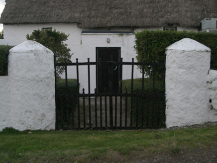 farm house1188 ydThe HamBay · 1215 yd
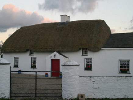 farm house1222 yd
 Windmill (Corn) (Disused)Windmill · 1.1 miSigginstown Island (Great)Island · 1.2 miSigginstown Island (Little)Islet · 1.3 miThe Bull RockForest · 1.8 mi
_-_geograph.org.uk_-_3715787.jpg/250px-Castles_of_Leinster,_Ballyhealy,_Wexford_(1)_-_geograph.org.uk_-_3715787.jpg "Photo: Mike Searle, Wikimedia Commons · CC BY-SA 2.0") Castle (in ruins)Castle, tower house · 3.7 mi
Castle (in ruins)Castle, tower house · 3.7 mi Carne BeachBeach / strand · 4.3 mi
Pictures: Cozzmick, Wikimedia Commons · CC BY-SA 4.0; National Inventory of Architectural Heritage; DeFacto, Wikimedia Commons · CC BY-SA 4.0; Mike Searle, Wikimedia Commons · CC BY-SA 2.0; User Ali-oops on en.wikipedia, Wikimedia Commons · GFDL
More archaeology and monuments in County Wexford · All of County Wexford
What do you know about this place?