What is recorded here
St. Johns Well is one of four destroyed holy wells beside a County Offaly stream, now marked only by a hawthorn bush. People once believed the water could touch children, scurvy or divine life, yet even that belief has washed out. What remains is a small green wound in the earth, waiting to be remembered through the shape of its marker rather than the truth of its name.
All four holy wells are now destroyed with only a hawthorn bush marking the location of each individual well located beside a stream. One of a group of 4 holy wells. One of a group of 4 holy wells (OF018-014/004-) marked on the OS 6-inch map as 'Scurvy Well', 'Children's Well', 'St. John's Well' and 'Lady's Well'.
Compiled by: Caimin O'Brien.
Date of upload: 23 May 2011
St. John's Well, Toberleheen is associated with St. John the Baptist and was traditionally visited on St. John's Eve (23–24 June) for healing and protection rituals. The site, like others in the group, was likely linked to local Christian and pre-Christian traditions, with the hawthorn bush possibly symbolizing sacred or protective qualities.
This remains an important historical record, but the official description says the monument is no longer visible or has been destroyed. The monument record does not grant public access. Check the route and ask the landowner before entering private land.
- What survives
- No visible remains or recorded as destroyed
Places near here
 Scurvy WellHoly well · 12 yd
 Lady's WellSpring · 23 yd
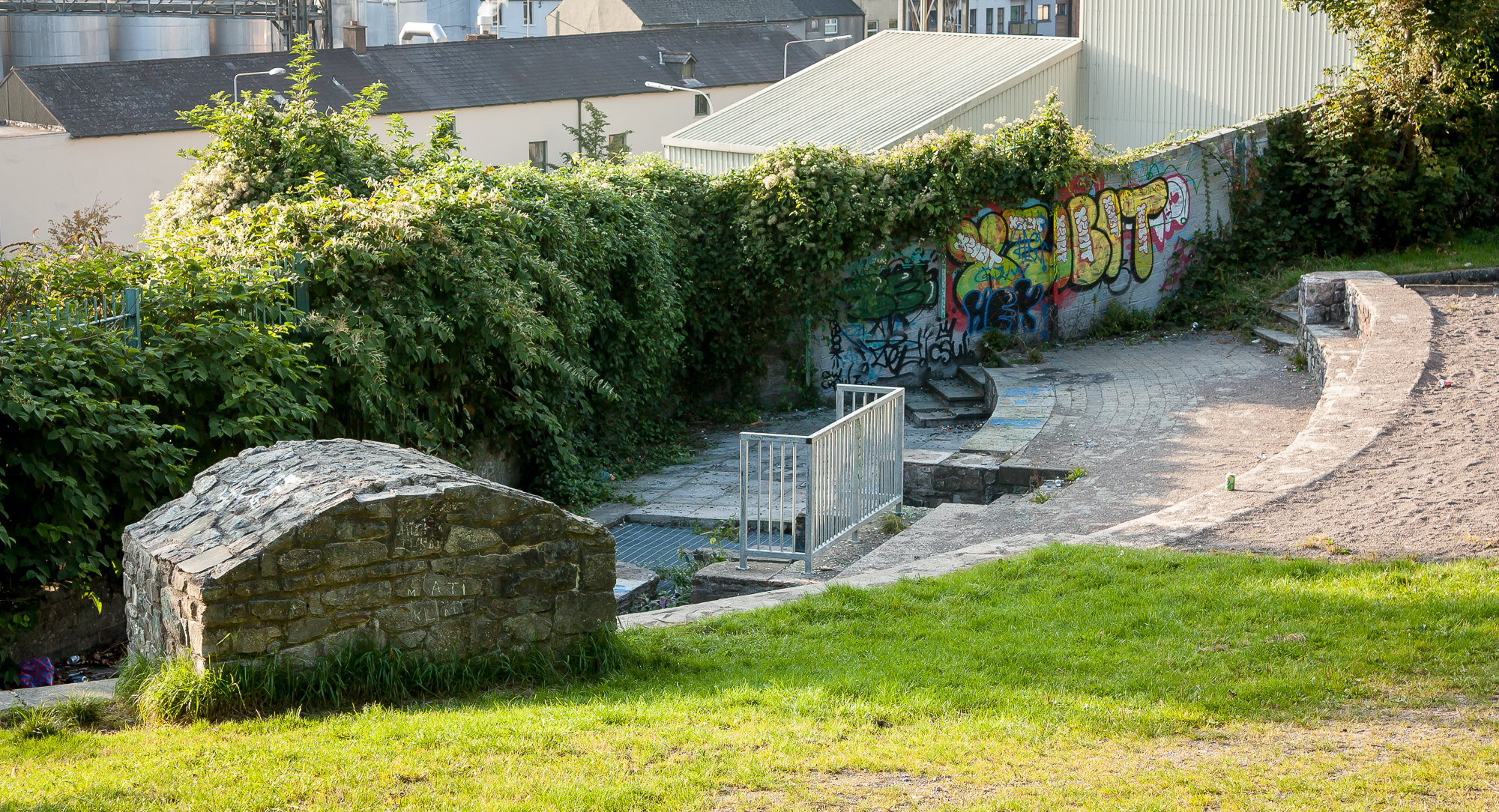 Ladys WellHoly well · 37 yd
 Children's WellSpring · 39 yd
 CastleCastle, motte · 955 yd
 bridgebridge · 1616 yd
 21st Locklock · 1616 yd
 Graveyard in BallycommonGraveyard · 1.7 mi
 Castle in ruinsCastle, unclassified · 2.5 mi
 Furzehill WoodWood · 2.5 mi
 Geashill Glebe WalkVisitor information · 2.9 mi
 Father BurbageMemorial · 2.9 mi