What is recorded here
Situated on the W side of a little N-S valley and at the base of an E-facing rock-outcrop (H c. 3m). According to John O’Donovan writing c. 1840 this holy well was frequented for the cure of sore eyes, but he does not provide the date of a pattern (O’Flanagan 1933, vol. 1, 270-1). The well is a natural spring almost surrounded by furze and obscured by field stones. There is no evidence of veneration. The parish church of St. Helen’s (WX048-037001-) is c. 60m to the E. The saint is probably Helena, the mother of Constantine who was the first Roman emperor to embrace Christianity in the early 4th century. She did not convert until late in life after Constantine, fighting under the sign of the ChiRho of Christ’s monogram, had defeated the Emperor Maxentius at the battle of Milvian Bridge on the river Tiber in AD 312. Helen devoted the rest of her days to church building in the Holy Land, and discovered the remains of the True Cross on Mount Calvary. She died in 326 or 328 AD. Her feast day is celebrated on August 18 (Butler 1883, 117).
Situated on the W side of a little N-S valley and at the base of an E-facing rock-outcrop (H c. 3m). According to John O’Donovan writing c. 1840 this holy well was frequented for the cure of sore eyes, but he does not provide the date of a pattern (O’Flanagan 1933, vol. 1, 270-1). The well is a natural spring almost surrounded by furze and obscured by field stones. There is no evidence of veneration. The parish…
From the National Monuments Service (Archaeological Survey of Ireland) record WX048-036
The monument record does not grant public access. Check the route and ask the landowner before entering private land.
- What survives
- Recorded monument
Places near here
Photo credits
- National Inventory of Architectural Heritage
- User Ali-oops on en.wikipedia, Wikimedia Commons · GFDL
- Ojsyork, Wikimedia Commons · CC BY 4.0
- DeFacto, Wikimedia Commons · CC BY-SA 4.0
Bullocks TrackRitual site, holy/saint's stone · 46 yd bridge116 ydIndicatedBawn · 892 ydThe Fairy Stone/RockNamed rock · 1280 ydBallycronigan HouseCountry house · 1329 ydRosslare Harbour Maritime Heritage CentreMuseum · 1.4 miMoran's Bay PostVisitor information · 1.4 miCastleCastle, tower house · 1.7 miShernock Hill/Knocks HillMountain / peak · 1.7 miCarne BeachBeach / strand · 2.3 miLifeboat MemorialMemorial · 2.3 miWindmill (Corn) (Disused)Windmill · 4.4 mi
 bridge116 ydIndicatedBawn · 892 ydThe Fairy Stone/RockNamed rock · 1280 yd
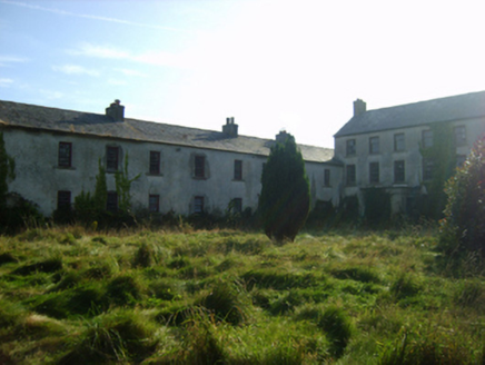 Ballycronigan HouseCountry house · 1329 ydRosslare Harbour Maritime Heritage CentreMuseum · 1.4 miMoran's Bay PostVisitor information · 1.4 miCastleCastle, tower house · 1.7 miShernock Hill/Knocks HillMountain / peak · 1.7 mi
 Carne BeachBeach / strand · 2.3 mi
 Lifeboat MemorialMemorial · 2.3 mi
 Windmill (Corn) (Disused)Windmill · 4.4 mi
More archaeology and monuments in County Wexford · All of County Wexford
What do you know about this place?